604 Pike St Coal Grove, OH 45638-3166
Property profile & analytics
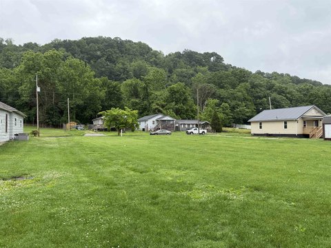
604 Pike St, Coal Grove, OH 45638-3166
- Commercial land
- 0.08 lot acres
Property ID
US66-1118543
The Realmo ID is a unique identifier assigned to every property, incorporating country codes and precise geo-coordinates for 300x300-foot land blocks. It enables standardized data collection and seamless integration of disparate sources such as ownership, tax, title data and physical specifications. By aggregating current and historical records, the Realmo ID powers advanced analytics and delivers deep, verifiable insights for real estate professionals.
Location Intelligence
Current Use by Public Records
- Commercial land
Property Details for 604 Pike St
- Lot size
- 0.08 lot acres
- Property type
- Commercial land
- APN
- 29-059-1200.000
- APU
- 290591200000
Sales History
| Date | Price | Buyer | Seller | Deed Type | Mortgage |
|---|---|---|---|---|---|
| Oct 11, 2024 | — | The Village Of Coal Grove | Frederick C Fisher JR | Administrators Deed | — |
| Jul 17, 2024 | — | Phil R Robinson | Deborah A Robinson | Intrafamily Transfer · related | — |
| Jul 12, 2024 | — | Robert W Meredith II | Estate Of Judith Ann Meredith | Certificate Of Transfer | — |
Value Estimations
based on Realmo’s proprietary methodology
-
AI approach
-
CAP approach
-
Comparable approach
-
Alternative Use
Get a detailed, property-specific estimation — fast and free
Location Insight
- Map
- Local Demand
- City
- Coal Grove
- County
- Lawrence
- State
- Ohio
- Longitude
- -82.6502
- Latitude
- 38.4943
- CBSA code
- 26580
- CBSA name
- HUNTINGTON-ASHLAND, WV-KY-OH METROPOLITAN STATISTICAL AREA
Property Tax & Assessments
Tax date
Tax Amount
Assessed Land Value
Assessed Improvement Value
Total Assessed Value
Applied Tax Rate
Land Market Value
Improvement Market Value
Total Market Value
2023
$65
$2,020
$0.00
$2,020
-
$5,780
$0.00
$5,780