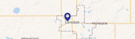
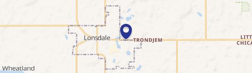
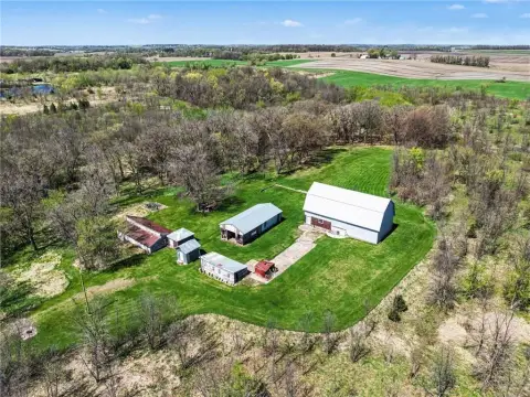
601 Central E St Lonsdale, MN 55046-4058
Property profile & analytics
601 Central E St, Lonsdale, MN 55046-4058
- Warehouses
- 6,720 SF
- 3.91 lot acres
Property ID
US46-1390264
The Realmo ID is a unique identifier assigned to every property, incorporating country codes and precise geo-coordinates for 300x300-foot land blocks. It enables standardized data collection and seamless integration of disparate sources such as ownership, tax, title data and physical specifications. By aggregating current and historical records, the Realmo ID powers advanced analytics and delivers deep, verifiable insights for real estate professionals.
Location Intelligence
Current Use by Public Records
- Generation Building Center / Big Box & Wholesale Store / Building Supply
Property Details for 601 Central E St
- Year built
- 1975
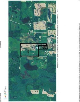
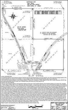
- Lot size
- 3.91 lot acres
- Property type
- Warehouses
- APN
- 19.25.3.25.001
- APU
- 1925325001
Sales History
| Date | Price | Buyer | Seller | Deed Type | Mortgage |
|---|---|---|---|---|---|
| Jul 17, 2023 | $900,000 | Wickman Holdings LLC | Generation Lumber Property LLC | Contract Sale | — |
| Apr 8, 2020 | — | Wickman Holdings LLC | — | Deed · related | $581k · Randy S & Lori Stangler |
| Oct 13, 2017 | $650,000 | Wickman Holdings LLC | Generation Lumber Property LLC | Dual Purpose Document · related | $553k · Genreration Lumber Prop LLC |
| Jun 22, 2011 | — | Generation Hbc Property LLC | Generation Hbc LLC | Quit Claim Deed · related | — |
| Dec 21, 2010 | $475,000 | Generation Hbc LLC | He Westerman Lumber Co | Warranty Deed · related | — |
| Dec 21, 2010 | — | He Westerman Lumber Co | Sheriff Of Rice County | Grant Deed · related | — |
| Sep 8, 2010 | $566,754 | Frandsen Bk & Trust | Deputy Sheriff Of Rice County | Trustees Deed · related | — |
| Feb 27, 2006 | — | He Westerman Lumber Co | — | Trustees Deed · related | $630k · Frandsen Bank & Trust |
| — | — | He Westerman Lumber Co | — | Loan Modification · related | — |
| — | — | He Westerman Lumber Co | — | Loan Modification · related | $350k · Frandsen Bank & Trust |
| — | — | Wickman Holdings LLC | — | Deed Of Trust · related | $581k · Randy S & Lori Stangler |
Value Estimations
based on Realmo’s proprietary methodology
-
Comparable approach
- Method
- Estimation
- AI Estimate
- $1,134,000
Market price range: $415k - $1.13M
Get a detailed, property-specific estimation — fast and free
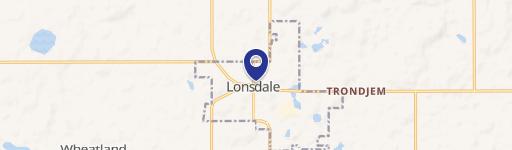
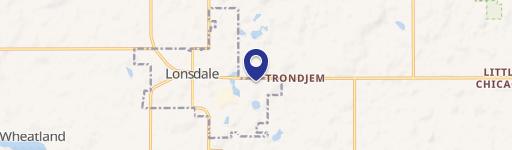
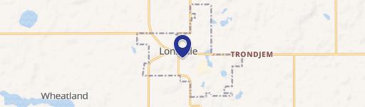
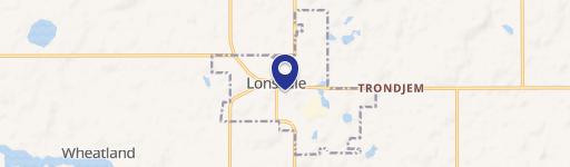
Location Insight
- Map
- Local Demand
- City
- Lonsdale
- County
- Rice
- State
- Minnesota
- Longitude
- -93.4188
- Latitude
- 44.4785
- CBSA code
- 22060
- CBSA name
- FARIBAULT-NORTHFIELD, MN MICROPOLITAN STATISTICAL AREA
Property Tax & Assessments
Tax date
Tax Amount
Assessed Land Value
Assessed Improvement Value
Total Assessed Value
Applied Tax Rate
Land Market Value
Improvement Market Value
Total Market Value
2024
$27,294
$245,300
$712,700
$958,000
-
$245,300
$712,700
$958,000