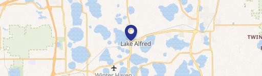
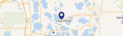
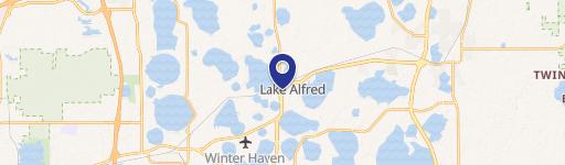
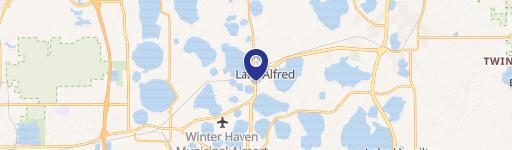
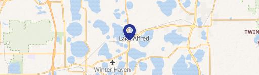
6000 Hwy 557 Lake Alfred, FL 33850
Property profile & analytics
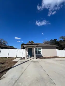
6000 Hwy 557, Lake Alfred, FL 33850
- Grocery and convenience stores
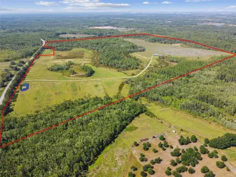
- 7,450 SF
- 1.51 lot acres
Property ID
US18-4001263
The Realmo ID is a unique identifier assigned to every property, incorporating country codes and precise geo-coordinates for 300x300-foot land blocks. It enables standardized data collection and seamless integration of disparate sources such as ownership, tax, title data and physical specifications. By aggregating current and historical records, the Realmo ID powers advanced analytics and delivers deep, verifiable insights for real estate professionals.
Location Intelligence
Current Use by Public Records
- Grocery and convenience stores
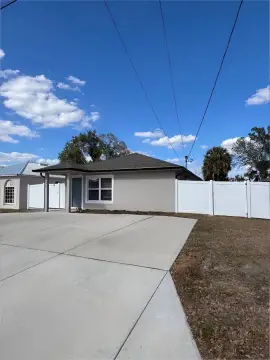
Property Details for 6000 Hwy 557
- Year built
- 1966
- Lot size
- 1.51 lot acres
- Zone code
- C-3
- Property type
- Grocery and convenience stores
- APN
- 262631000000021010
- APU
- 262631000000021010
Sales History
| Date | Price | Buyer | Seller | Deed Type | Mortgage |
|---|---|---|---|---|---|
| Jun 29, 2016 | — | Catfish Real Estate LLC | Mcknight,william D & Kathryn A | Grant Deed · related | $12M · Servisfirst Bk |
| May 27, 2016 | — | Catfish Real Estate LLC | Mcknight,william D & Kathryn A | Warranty Deed · related | — |
| — | — | Catfish Real Estate LLC | — | Deed Of Trust · related | $12M · Servisfirst Bk |
Value Estimations
based on Realmo’s proprietary methodology
-
Comparable approach
- Method
- Estimation
- Statistic Estimate
- $1,094,000
Market price range: $1.09M - $3.00M -
Alternative Use
- Use
- Estimation
- NEIGHBORHOOD: SHOPPING CENTER
- $1,365,000 Current use
- RETAIL STORES
- $1,160,000 Change: -15% Conversion: Easy
- INDUSTRIAL (GENERAL)
- $1,150,000 Change: -16% Conversion: Difficult
Get a detailed, property-specific estimation — fast and free
Location Insight
- Map
- Local Demand
- City
- Lake Alfred
- County
- Polk
- State
- Florida
- Longitude
- -81.7426
- Latitude
- 28.1781
- CBSA code
- 29460
- CBSA name
- LAKELAND, FL METROPOLITAN STATISTICAL AREA
Property Tax & Assessments
Tax date
Tax Amount
Assessed Land Value
Assessed Improvement Value
Total Assessed Value
Applied Tax Rate
Land Market Value
Improvement Market Value
Total Market Value
2023
$6,907
$148,500
$204,122
$352,622
-
$148,500
$204,122
$352,622