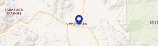
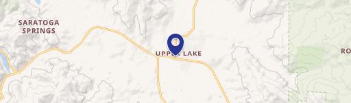
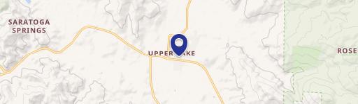
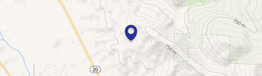
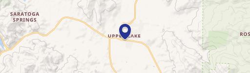
600 State Hwy 20 Upper Lake, CA 95485-9526
This 1.37-acre level parcel is zoned R-3 (high-density residential) and is located on Highway 20 in Upper Lake, near schools. Water and sewer services are available. The property is situated directly across from the public park next to Running Creek Casino, offering highway visibility. The zoning allows for duplexes, triplexes, fourplexes, apartments, condos, and more, presenting various residential development possibilities. The location may also be suitable to request a zoning change for commercial development.
Cap rate
Implied · in-place · derived from last sale + estimated NOIValue
AI, CAP & Alternative Use estimations · Realmo proprietary blendProperty tax & assessments
Tax year 2024Comparables
6 recent transactions · within 1.5 miComparable in this City
Similar Nearby for Sale


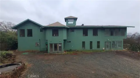


Property description
Physical attributes from public recordsZoning & alternative use
R3 · Upper Lake, CAUpper Lake. Always verify with local authorities before improvements.
Costs & Benchmarks
Operating expenses, capex projections, utility benchmarks, and submarket comparables — all in one view.
Risks
Flood, climate, environmental, title, and tenant-concentration risk — surfaced with mitigations and source citations.


