
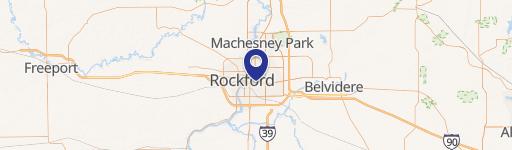
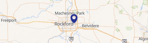
5866 Columbia Pkwy, Rockford, IL 61108-5020
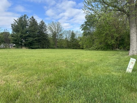
Located at the corner of Harrison Avenue and Mulford Road in southeast Rockford, this 4.04-acre land parcel benefits from high visibility and accessibility. Situated near U.S. Route 20, the property is adjacent to a Casey's General Store. The location has strong demographics and traffic counts, with over 44,000 vehicles passing through the intersection daily and a population of 50,000 within a 3-mile radius. The site is positioned for commercial development due to its proximity to numerous residential developments, including Walden Woods, Pembrook Place, Harrison Park South, Mulford Wildwoods, Panorama Valley, Swanson Park Subdivision, Coventry Hills, and East Haven. Harrison Avenue serves as a major east-west corridor, providing access to US Route-20, Interstate-90, and Interstate-39. The parcels offer flexibility in designing and building projects and features proposed right-in/right-out access from Harrison Avenue.
Cap rate
Implied · in-place · derived from last sale + estimated NOIValue
AI, CAP & Alternative Use estimations · Realmo proprietary blendProperty tax & assessments
Tax year 2023Comparables
6 recent transactions · within 1.5 miComparable in this City

Similar Nearby for Sale


Similar Nearby for Lease


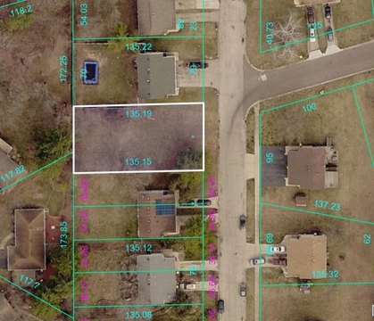
Property description
Physical attributes from public recordsZoning & alternative use
C3 · Rockford, ILRockford. Always verify with local authorities before improvements.
Costs & Benchmarks
Operating expenses, capex projections, utility benchmarks, and submarket comparables — all in one view.
Risks
Flood, climate, environmental, title, and tenant-concentration risk — surfaced with mitigations and source citations.


