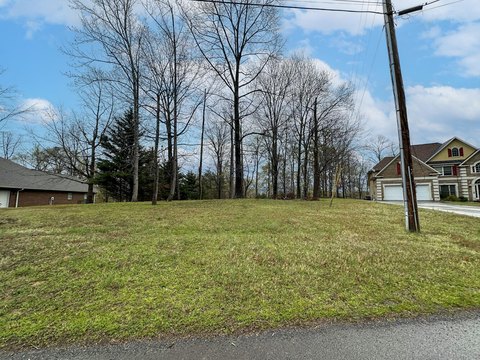
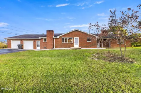
569 Terry Pt Rd Dandridge, TN 37725-6247
Property profile & analytics
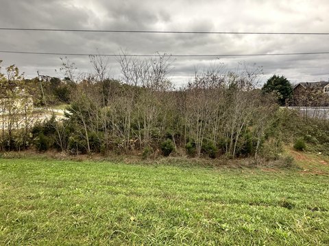
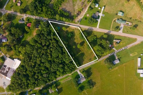
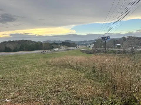
569 Terry Pt Rd, Dandridge, TN 37725-6247
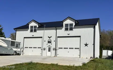
- Retail space
- 4,035 SF
- 10.50 lot acres
Property ID
US80-1849174
The Realmo ID is a unique identifier assigned to every property, incorporating country codes and precise geo-coordinates for 300x300-foot land blocks. It enables standardized data collection and seamless integration of disparate sources such as ownership, tax, title data and physical specifications. By aggregating current and historical records, the Realmo ID powers advanced analytics and delivers deep, verifiable insights for real estate professionals.
Location Intelligence
Current Use by Public Records
- Retail space
Property Details for 569 Terry Pt Rd
- Year built
- 1978
- Lot size
- 10.50 lot acres
- Zone code
- A-1
- Property type
- Retail space
- APN
- 076 04700 001
- APU
- 7604700001
Sales History
| Date | Price | Buyer | Seller | Deed Type | Mortgage |
|---|---|---|---|---|---|
| Apr 26, 2018 | — | Randell D Sikes | Matthew J Sikes | Quit Claim Deed · related | $150k · Matthew J Sikes |
Value Estimations
based on Realmo’s proprietary methodology
-
Comparable approach
- Method
- Estimation
- Statistic Estimate
- $568,000
- AI Estimate
- $529,000
Market price range: $153k - $568kMarket price range: $136k - $530k -
Alternative Use
- Use
- Estimation
- RETAIL STORES
- $365,000 Current use
- COMMERCIAL (GENERAL)
- $835,000 Change: +130% Conversion: Easy
Get a detailed, property-specific estimation — fast and free
Location Insight
- Map
- Local Demand
- City
- Dandridge
- County
- Jefferson
- State
- Tennessee
- Longitude
- -83.4359
- Latitude
- 35.9926
- CBSA code
- 34100
- CBSA name
- MORRISTOWN, TN METROPOLITAN STATISTICAL AREA
Property Tax & Assessments
Tax date
Tax Amount
Assessed Land Value
Assessed Improvement Value
Total Assessed Value
Applied Tax Rate
Land Market Value
Improvement Market Value
Total Market Value
0
$0.00
$165,920
$183,760
$349,680
-
$414,800
$459,400
$874,200