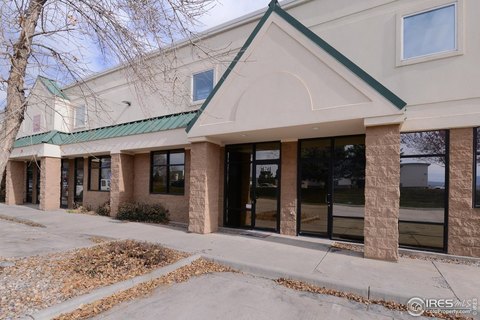
5610 Boeing Dr Loveland, CO 80538-8808
Property profile & analytics
5610 Boeing Dr, Loveland, CO 80538-8808
- Manufacturing properties
- 47,452 SF
- 2.61 lot acres
Property ID
US13-0767157
The Realmo ID is a unique identifier assigned to every property, incorporating country codes and precise geo-coordinates for 300x300-foot land blocks. It enables standardized data collection and seamless integration of disparate sources such as ownership, tax, title data and physical specifications. By aggregating current and historical records, the Realmo ID powers advanced analytics and delivers deep, verifiable insights for real estate professionals.
Location Intelligence
Current Use by Public Records
- Rubadue Wire Company / Industrial Manufacturer / Production Facility
Property Details for 5610 Boeing Dr
- Year built
- 1998
- Construction
- MASONRY/CONCRETE MASONRY UNITS (CMUS)
- Lot size
- 2.61 lot acres
- Property type
- Manufacturing properties
- APN
- 86273-22-001
- APU
- 8627322001
Sales History
| Date | Price | Buyer | Seller | Deed Type | Mortgage |
|---|---|---|---|---|---|
| Oct 8, 2020 | $6,900,000 | Corporate Center Legacy LLC | Boeing Drive Investents LLC | Grant Deed | $4.4M · Wells Fargo Bk |
| Jan 6, 2015 | $4,775,000 | Boeing Drive Investments LLC | Steputis,mark | Grant Deed | $2.4M · Bmo Harris Bk NA |
| Jan 4, 2012 | — | Mark Steputis | — | Deed Of Trust · related | $1.3M · Great Western Bank |
| — | — | Steputis,mark | — | Loan Modification · related | $1M · Great Wstrn Bk |
| — | — | Steputis,mark | — | Loan Modification · related | $1M · Great Wstrn Bk |
| — | — | Boeing Drive Investments LLC | — | Deed Of Trust · related | $2.4M · Bmo Harris Bk NA |
| — | — | Boeing Drive Investments LLC | — | Deed Of Trust · related | $2M · Colorado Lndg Source |
| — | — | Mark Steputis | — | Deed Of Trust · related | $2.6M · Great Western Bank |
| — | — | Mark Steputis | — | Deed Of Trust · related | $2.5M · Great Western Bank |
| — | — | Mark Steputis | — | Deed Of Trust · related | $2.6M · First National Bank |
Value Estimations
based on Realmo’s proprietary methodology
-
AI approach
- Method
- Estimation
- Statistic approach
- $6,935,000
- ML approach
- $7,030,000
-
CAP approach
- CAP Return
- Estimation
- 6%
- $7,015,000
- 6.5%
- $6,475,000
- 7%
- $6,010,000
-
Comparable approach
- Method
- Estimation
- Statistic Estimate
- $7,178,000
- AI Estimate
- $5,618,000
Market price range: $6.56M - $9.20MMarket price range: $4.03M - $7.96M -
Alternative Use
- Use
- Estimation
- INDUSTRIAL (GENERAL)
- $7,860,000 Current use
- OFFICE BUILDING
- $10,355,000 Change: +32% Conversion: Difficult
- RETAIL STORES
- $9,965,000 Change: +27% Conversion: Moderate
- WAREHOUSE, STORAGE
- $7,000,000 Change: -11% Conversion: Easy
Get a detailed, property-specific estimation — fast and free
Location Insight
- Map
- Local Demand
- City
- Loveland
- County
- Larimer
- State
- Colorado
- Longitude
- -104.997
- Latitude
- 40.4513
- CBSA code
- 22660
- CBSA name
- FORT COLLINS-LOVELAND, CO METROPOLITAN STATISTICAL AREA
Property Tax & Assessments
Tax date
Tax Amount
Assessed Land Value
Assessed Improvement Value
Total Assessed Value
Applied Tax Rate
Land Market Value
Improvement Market Value
Total Market Value
2023
$153,869
$214,105
$1,738,895
$1,953,000
-
$767,400
$6,232,600
$7,000,000