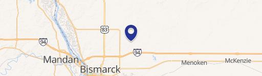
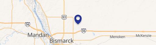
5416 Davies Dr Bismarck, ND 58503
Residential and R10-Residential zoning districts. Street-Parkway: A multi -modal roadway designed according to complete street principles to operate at moderate speeds. Parkways typically include one drive lane and one bike lane in each direction, and raised and landscaped median, and landscaped boulevards and sidewalks on both sides of the street. Street-Mi…
Cap rate
Implied · in-place · derived from last sale + estimated NOIValue
AI, CAP & Alternative Use estimations · Realmo proprietary blendProperty tax & assessments
Tax year 2023Comparables
6 recent transactions · within 1.5 miComparable in this City
Similar Nearby for Sale


Similar Nearby for Lease


Property description
Physical attributes from public recordsZoning & alternative use
R10 · Bismarck, NDResidential and R10-Residential zoning districts. Street-Parkway: A multi -modal roadway designed according to complete street principles to operate at moderate speeds. Parkways typically include one drive lane and one bike lane in each direction, and raised and landscaped median, and landscaped boulevards and sidewalks on both sides of the street. Street-Minor Arterial: Roadway which provides through traffic movements between areas and links collectors with other arterials. Minor arterials usually have two to four lanes and may be divided or undivided roads, preferably with little or no parking, and limited access. The locations of roadways classified as minor arterials shall be as designated on the most recent edition of the North Dakota Department of Transportation functional classification map. Street-Principal Arterial: Roadway which provides for rapid movements of relatively large traffic volumes between large land areas, major traffic generators and other arterials. Principal arterials should have controlled access and are usually multi-lane roads with no parking. The locations of roadways classified as principal arterials shall be as designated on the most recent edition of the North Dakota Department of Transportation functional classification map. Structural Alteration: Any change in the supporting members of a building, such as bearing walls or partitions, columns, beams or girders, or any structural change in the roof, or dimension of the rooms therein. Structure: Anything constructed or erected, which requires location on the ground or is attached to something having a location on the ground; including but not limited to buildings, advertising signs, billboards and poster panels; but not including customary fences or boundary or retaining walls. Subdivision: The division of a tract or parcel of land into record lots for the purpose, whether immediate or future, of sale or of building development, including any plat or plan which includes the creation of any part of one or more streets, public easements, or other rights -of-way, whether public or private, for access to or from such lots, and/or including the creation of new or enlarged parks, playgrounds, plazas or open spaces. However, the division of land for agricultural purposes into parcels of ten or more acres, not involving any new street or easement of access, shall be exempted from these regulations.
No recorded transactions found for this property.
Costs & Benchmarks
Operating expenses, capex projections, utility benchmarks, and submarket comparables — all in one view.
Risks
Flood, climate, environmental, title, and tenant-concentration risk — surfaced with mitigations and source citations.


