520 Polaris Pkwy Westerville, OH 43082-7044
Property profile & analytics
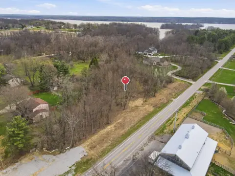
520 Polaris Pkwy, Westerville, OH 43082-7044
- Commercial land
- 14.07 lot acres
Property ID
US66-3518036
The Realmo ID is a unique identifier assigned to every property, incorporating country codes and precise geo-coordinates for 300x300-foot land blocks. It enables standardized data collection and seamless integration of disparate sources such as ownership, tax, title data and physical specifications. By aggregating current and historical records, the Realmo ID powers advanced analytics and delivers deep, verifiable insights for real estate professionals.
Location Intelligence
Current Use by Public Records
- ATM (Key Bank) / Atm
- KeyBank / Bank / Loan Service
Property Details for 520 Polaris Pkwy
- Lot size
- 14.07 lot acres
- Property type
- Commercial land
- APN
- 318-441-01-003-000
- APU
- 31844101003000
Sales History
| Date | Price | Buyer | Seller | Deed Type | Mortgage |
|---|---|---|---|---|---|
| Oct 6, 2025 | — | Shops At Westar LLC | — | Deed · related | $3M · The State Bank & Trust Co |
| May 2, 2022 | — | Sat Guru LLC | — | Deed · related | $878k · Premier Bank |
| Apr 27, 2020 | — | Shops At Westar LLC | — | Deed · related | $3.5M · First Fed'l Bk/the Midwest |
| Jan 25, 2018 | — | Sat Guru LLC | — | Deed · related | $3.7M · Park Nat'l Bk |
| Dec 15, 2017 | — | Shops At Westar LLC | Shops At Westar Ccc LLC | Quitclaim Deed · related | $3.7M · Park Nat'l Bk |
| May 25, 2011 | — | City Of Westerville Ohio | Bean Eleanor L Trust | Grant Deed | — |
Value Estimations
based on Realmo’s proprietary methodology
-
AI approach
-
CAP approach
-
Comparable approach
-
Alternative Use
Get a detailed, property-specific estimation — fast and free
Location Insight
- Map
- Local Demand
- City
- Westerville
- County
- Delaware
- State
- Ohio
- Longitude
- -82.9514
- Latitude
- 40.1483
- CBSA code
- 18140
- CBSA name
- COLUMBUS, OH METROPOLITAN STATISTICAL AREA
Property Tax & Assessments
Tax date
Tax Amount
Assessed Land Value
Assessed Improvement Value
Total Assessed Value
Applied Tax Rate
Land Market Value
Improvement Market Value
Total Market Value
2023
$0.00
$79,770
$0.00
$79,770
-
$227,900
$0.00
$227,900