5171 Harding Way Stockton, CA 95215
Property profile & analytics
5171 Harding Way, Stockton, CA 95215
- Industrial land
- 15.88 lot acres
Property ID
US10-2469371
The Realmo ID is a unique identifier assigned to every property, incorporating country codes and precise geo-coordinates for 300x300-foot land blocks. It enables standardized data collection and seamless integration of disparate sources such as ownership, tax, title data and physical specifications. By aggregating current and historical records, the Realmo ID powers advanced analytics and delivers deep, verifiable insights for real estate professionals.
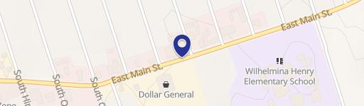
Location Intelligence
Current Use by Public Records
- Industrial land
Property Details for 5171 Harding Way
- Lot size
- 15.88 lot acres
- Zone code
- 58
- Property type
- Industrial land
- APN
- 101-220-030-000
- APU
- 101220030000
Sales History
| Date | Price | Buyer | Seller | Deed Type | Mortgage |
|---|---|---|---|---|---|
| Aug 1, 2011 | — | Beard Thomas & P Living Trust | Stockton Terminal Co | Grant Deed | — |
| Jan 26, 2011 | $3,233,012 | Stockton Terminal Co | Fidelity Natl Default Svcs C | Trustees Deed · related | — |
| Dec 20, 2004 | $2,500,000 | Latham Truss INC | Stockton Terminal | Grant Deed | $2.5M · Stockton Terminal Co |
| Dec 16, 1994 | — | Stockton Terminal | — | Deed Of Trust · related | $2.2M · Bank Of Stockton |
Value Estimations
based on Realmo’s proprietary methodology
-
AI approach
-
CAP approach
-
Comparable approach
-
Alternative Use
Get a detailed, property-specific estimation — fast and free
Location Insight
- Map
- Local Demand
- City
- Stockton
- County
- San Joaquin
- State
- California
- Longitude
- -121.233
- Latitude
- 37.9819
- CBSA code
- 44700
- CBSA name
- STOCKTON, CA METROPOLITAN STATISTICAL AREA
Property Tax & Assessments
Tax date
Tax Amount
Assessed Land Value
Assessed Improvement Value
Total Assessed Value
Applied Tax Rate
Land Market Value
Improvement Market Value
Total Market Value
2024
$8,071
$615,703
$0.00
$615,703
-
$0.00
$0.00
$0.00