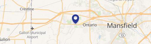
515 Urwin Pkwy Ontario, OH 44906-3352
Property profile & analytics
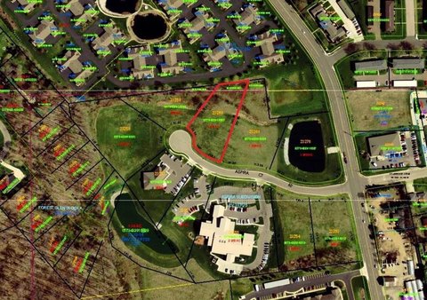
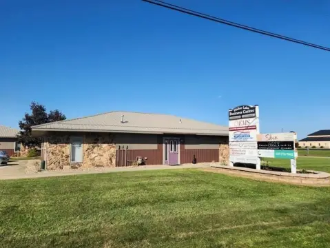
515 Urwin Pkwy, Ontario, OH 44906-3352
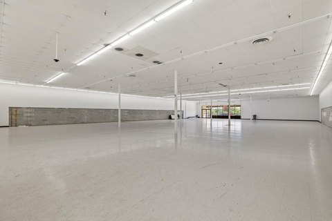
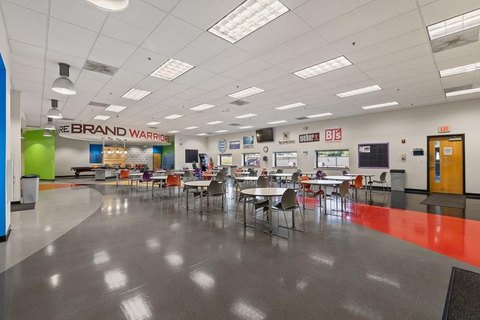
- Industrial land
- 161,730 SF
- 31.09 lot acres
Property ID
US66-4372436
The Realmo ID is a unique identifier assigned to every property, incorporating country codes and precise geo-coordinates for 300x300-foot land blocks. It enables standardized data collection and seamless integration of disparate sources such as ownership, tax, title data and physical specifications. By aggregating current and historical records, the Realmo ID powers advanced analytics and delivers deep, verifiable insights for real estate professionals.
Location Intelligence
Current Use by Public Records
- Industrial land
Property Details for 515 Urwin Pkwy
- Year built
- 2014
- Lot size
- 31.09 lot acres
- Property type
- Industrial land
- APN
- 038-60-319-11-000
- APU
- 386031911000
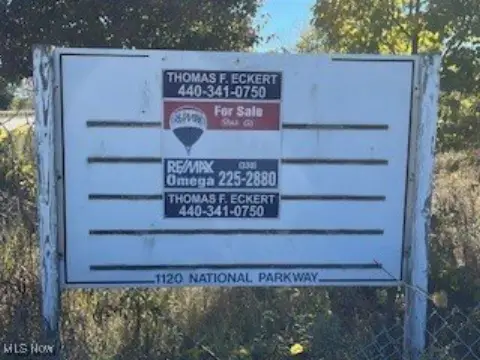
Sales History
| Date | Price | Buyer | Seller | Deed Type | Mortgage |
|---|---|---|---|---|---|
| Jun 30, 2014 | $83,050 | Westco Mansfield LLC | City Of Ontario Ohio | Warranty Deed | — |
Value Estimations
based on Realmo’s proprietary methodology
-
Comparable approach
- Method
- Estimation
- Statistic Estimate
- $2,290,000
- AI Estimate
- $2,417,000
Market price range: $2.29M - $9.07MMarket price range: $2.42M - $6.99M
Get a detailed, property-specific estimation — fast and free
Location Insight
- Map
- Local Demand
- City
- Ontario
- County
- Richland
- State
- Ohio
- Longitude
- -82.6141
- Latitude
- 40.7649
- CBSA code
- 31900
- CBSA name
- MANSFIELD, OH METROPOLITAN STATISTICAL AREA
Property Tax & Assessments
Tax date
Tax Amount
Assessed Land Value
Assessed Improvement Value
Total Assessed Value
Applied Tax Rate
Land Market Value
Improvement Market Value
Total Market Value
2023
$133,824
$191,400
$0.00
$191,400
-
$546,870
$0.00
$546,870