513 Coal St Carbondale, KS 66414-9722
Property profile & analytics
513 Coal St, Carbondale, KS 66414-9722
- Garden apartment buildings
- 2,601 SF
- 1.32 lot acres
Property ID
US33-0381380
The Realmo ID is a unique identifier assigned to every property, incorporating country codes and precise geo-coordinates for 300x300-foot land blocks. It enables standardized data collection and seamless integration of disparate sources such as ownership, tax, title data and physical specifications. By aggregating current and historical records, the Realmo ID powers advanced analytics and delivers deep, verifiable insights for real estate professionals.
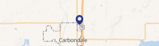
Location Intelligence
Current Use by Public Records
- Garden apartment buildings
Property Details for 513 Coal St
- Year built
- 1988
- Lot size
- 1.32 lot acres
- Property type
- Garden apartment buildings
- APN
- 070-024-19-0-30-04-003.00-0
- APU
- 700241903004003000
Sales History
| Date | Price | Buyer | Seller | Deed Type | Mortgage |
|---|---|---|---|---|---|
| Jan 10, 2013 | — | Household Finance Corp III | Scott E Culley | Deed In Lieu Of Foreclosure · related | — |
Value Estimations
based on Realmo’s proprietary methodology
-
AI approach
-
CAP approach
-
Comparable approach
-
Alternative Use
Get a detailed, property-specific estimation — fast and free
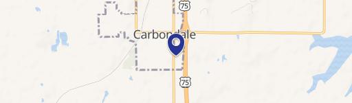
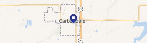
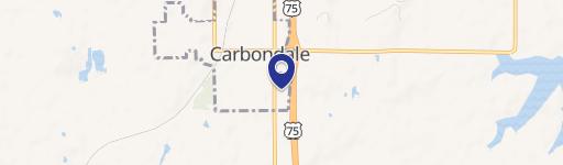
Location Insight
- Map
- Local Demand
- City
- Carbondale
- County
- Osage
- State
- Kansas
- Longitude
- -95.6863
- Latitude
- 38.813
- CBSA code
- 45820
- CBSA name
- TOPEKA, KS METROPOLITAN STATISTICAL AREA
Property Tax & Assessments
Tax date
Tax Amount
Assessed Land Value
Assessed Improvement Value
Total Assessed Value
Applied Tax Rate
Land Market Value
Improvement Market Value
Total Market Value
0
$0.00
$0.00
$0.00
$0.00
-
$24,860
$219,340
$244,200