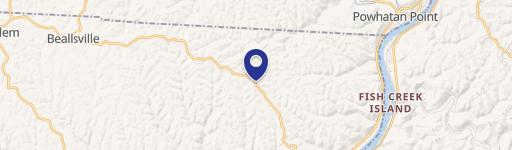
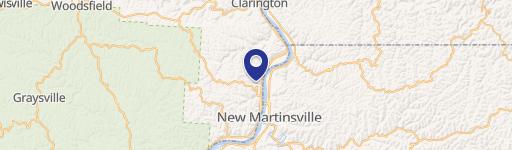
50768 State Rte 556 Clarington, OH 43915-9632
This exceptional mixed-use property in Clarington, OH, presents a unique investment opportunity. Spanning a total of 22.92 acres, the property boasts approximately 17,800 square feet of versatile space, ideally suited for a variety of commercial and industrial uses. The main building features approximately 4,800 square feet of updated office space, including six offices, two conference rooms, five bathrooms, and a break room. Modernizations include updated flooring, paint, and lighting, along with efficient heat pump units for climate control. A substantial 13,000+ square foot warehouse offers ample storage, featuring propane ceiling radiant heat and ceiling heights ranging from 16 to 24 feet. The property benefits from county water, South Central 3-phase power, and septic tanks, ensuring reliable utilities. High-speed Pure Broadband internet access is also available. Extensive concrete and gravel parking lots are complemented by a 24' x 40' garage. Security is enhanced by fully fenced and gated access to both the main building and a separate 7.01-acre fenced and gated storage/lay-down yard. The terrain is largely level around the building, gently sloping into wooded areas. This property enjoys a convenient location just minutes from State Route 7 along the Ohio River, atop the foothills of the Appalachian Mountains. While the property's original use was associated with the North American Coal Company and Consol Energy, the mine shaft has been sealed, though an underground tunnel remains for safe passage under State Route 556.
Cap rate
Implied · in-place · derived from last sale + estimated NOIValue
AI, CAP & Alternative Use estimations · Realmo proprietary blendProperty tax & assessments
Tax year 2023Comparables
6 recent transactions · within 1.5 miComparable in this City


Property description
Physical attributes from public recordsZoning & alternative use
Costs & Benchmarks
Operating expenses, capex projections, utility benchmarks, and submarket comparables — all in one view.
Risks
Flood, climate, environmental, title, and tenant-concentration risk — surfaced with mitigations and source citations.


