501 8th SE St Altoona, IA 50009-1903
This exceptional 7,000 square foot retail storefront, located at 501 8th Street SW in Altoona, Iowa, presents a remarkable opportunity for businesses seeking high visibility and ample space. Situated on a 0.95-acre lot in Polk County, this multi-tenant property offers a completely vacant space, providing flexibility for a wide range of retail or commercial uses. The modern and adaptable layout allows for efficient floor planning and customized interiors to perfectly suit your business needs. The expansive storefront ensures high visibility and easy access for customers, while ample parking adds to the convenience. The property's strategic location in Altoona fosters an ideal setting for attracting steady foot traffic and enhancing brand exposure, making it an excellent choice for businesses aiming to establish a strong presence in the thriving Altoona market. The property boasts a professional exterior and modern amenities, creating a dynamic and inviting environment for both customers and employees. This is a rare opportunity to secure a significant retail space in a desirable location. The entire 7,000 square feet is currently available. Contact us today to learn more about this exceptional property.
8. C-2 General Commercial District. 9. C-3 Planned Commercial District. 10. C-4 Village Commercial District. 11. C-5 Office Park. 12. C-6 Commercial Entertainment or Recreational District. 13. C-7 Regional Commercial District. 14. M-1 Limited Industrial District. 15. M-1A Commercial And Limited Light Industrial Business Park. 16. M-2 Heavy Industrial Distric…
Cap rate
Implied · in-place · derived from last sale + estimated NOIValue
AI, CAP & Alternative Use estimations · Realmo proprietary blendProperty tax & assessments
Tax year 2020Comparables
6 recent transactions · within 1.5 miComparable in this City


Similar Nearby for Sale


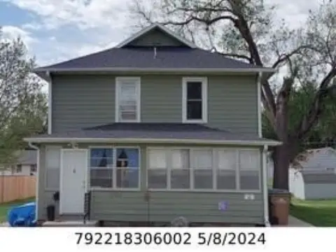


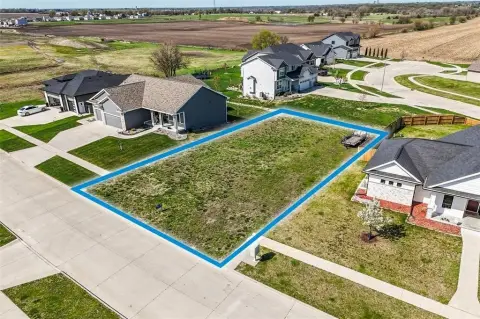
Similar Nearby for Lease


Property description
Physical attributes from public recordsZoning & alternative use
C-2 · Altoona, IA8. C-2 General Commercial District. 9. C-3 Planned Commercial District. 10. C-4 Village Commercial District. 11. C-5 Office Park. 12. C-6 Commercial Entertainment or Recreational District. 13. C-7 Regional Commercial District. 14. M-1 Limited Industrial District. 15. M-1A Commercial And Limited Light Industrial Business Park. 16. M-2 Heavy Industrial District. 17. Floodway (Overlay) District (FW) - those areas identified as Floodway on the Official Flood Plain Zoning Map. 18. Floodway Fringe (Overlay) District (FF) - those areas identified as Zone AE on the Official Flood Plain Zoning Map but excluding those areas identified as Floodway. 19. General Floodplain (Overlay) District (GF) - those areas identified as Zone A on the Official Flood Plain Zoning Map. The Official Zoning Map shall bear the signature of the Mayor, attested by the Clerk, under the certification that it is the Official Zoning Map. If, in accordance with the provisions of the Zoning Code and Chapter 414 of the Code of Iowa , changes are made in district boundaries or other matters portrayed on the Official Zoning Map, copies of such changes shall be filed with the Official Zoning Map promptly after the amendment has been approved by the Council. The Council may, from time to time, adopt a new Official Zoning Map which shall supersede the prior Official Zoning Map, in the event that the Official Zoning Map becomes damaged or destroyed; or for purposes of clarity due to a number of boundary changes, or to correct drafting errors or omissions; provided, however, any such adoption shall not have the effect of amending the original zoning ordinance or any subsequent amendment thereof. The Official Zoning Map, together with amending ordinances, shall be the final authority as to the current zoning status of land and water areas, buildings, and other structures in the City. EDITOR’S NOTE The following ordinances have been adopted amending the Official Zoning Map described in Section 165.03 of this chapter and have not been codified herein, but have been specifically saved from repeal and are in full force and effect. ORDINANCE NO. DATE ADOPTED ORDINANCE NO. DATE ADOPTED EDITOR’S NOTE The following ordinances have been adopted amending the Official Zoning Map described in Section 165.03 of this chapter and have not been codified herein, but have been specifically saved from repeal and are in full force and effect. ORDINANCE NO. DATE ADOPTED ORDINANCE NO.
Costs & Benchmarks
Operating expenses, capex projections, utility benchmarks, and submarket comparables — all in one view.
Risks
Flood, climate, environmental, title, and tenant-concentration risk — surfaced with mitigations and source citations.


