500 State Hwy B B Springfield, MO 65802-9160
not to create an adverse effect on adjacent residential areas. The O-2 district is designed to allow more intense use of land that is in close proximity to the central city district or other high intensity use areas specified in the Springfield Comprehensive Plan. (2) Permitted uses. (a) Accessory uses, as permitted by
Cap rate
Implied · in-place · derived from last sale + estimated NOIValue
AI, CAP & Alternative Use estimations · Realmo proprietary blendProperty tax & assessments
Tax year 2023Comparables
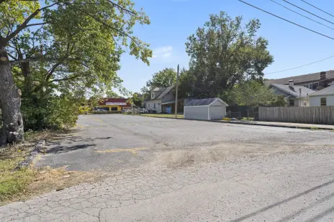
6 recent transactions · within 1.5 miComparable in this City


Similar Nearby for Sale


Similar Nearby for Lease


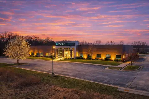
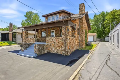
Property description
Physical attributes from public recordsZoning & alternative use
O-2 · Springfield, MOnot to create an adverse effect on adjacent residential areas. The O-2 district is designed to allow more intense use of land that is in close proximity to the central city district or other high intensity use areas specified in the Springfield Comprehensive Plan. (2) Permitted uses. (a) Accessory uses, as permitted by
No recorded transactions found for this property.
Costs & Benchmarks
Operating expenses, capex projections, utility benchmarks, and submarket comparables — all in one view.
Risks
Flood, climate, environmental, title, and tenant-concentration risk — surfaced with mitigations and source citations.


