Property profile & analytics
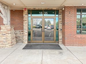
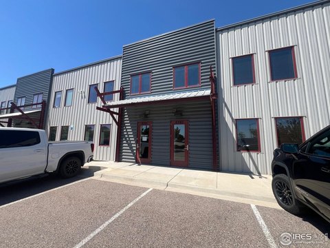
4900 Earhart Rd Loveland, CO 80538-8901
- Distribution properties
- 4,550 SF
- 811.47 lot acres
OFF-MARKET
Value Estimations
Cap Rate Potential
Location Intelligence
Property ID
US13-2352191
The Realmo ID is a unique identifier assigned to every property, incorporating country codes and precise geo-coordinates for 300x300-foot land blocks. It enables standardized data collection and seamless integration of disparate sources such as ownership, tax, title data and physical specifications. By aggregating current and historical records, the Realmo ID powers advanced analytics and delivers deep, verifiable insights for real estate professionals.
Current Use by Public Records
- Northern Colorado Regional Airport Administrative Office / Government Office
- Loveland Fire and Rescue Authority Station 4 / Emergency Services / Fire Station
- Immaculate Flight / Aviation Consultant
- Northern Colorado Regional Airport / Regional Airport / Airport
- Landline DIA Airport Shuttle / Moving Company / Logistics Company
Property Details for 4900 Earhart Rd
- Year built
- 2002
- Lot size
- 811.47 lot acres
- Property size
- 4,550 SF
- Property type
- Distribution properties
- APN
- 86330-06-902
- APU
- 8633006902
Value Estimations
based on Realmo’s proprietary methodology
-
AI approach
-
CAP approach
-
Comparable approach
-
Alternative Use
Get a detailed, property-specific valuation — fast and free
Location Insight
- Map
- Local Demand
- City
- Loveland
- County
- Larimer
- State
- Colorado
- Longitude
- -105.01
- Latitude
- 40.4496
- CBSA code
- 22660
- CBSA name
- FORT COLLINS-LOVELAND, CO METROPOLITAN STATISTICAL AREA
Property Tax & Assessments
Tax date
Tax Amount
Assessed Land Value
Assessed Improvement Value
Total Assessed Value
Applied Tax Rate
Land Market Value
Improvement Market Value
Total Market Value
2023
$60,662
$295,857
$492,268
$788,125
-
$1,060,420
$1,764,400
$2,824,820