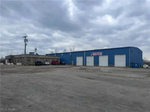
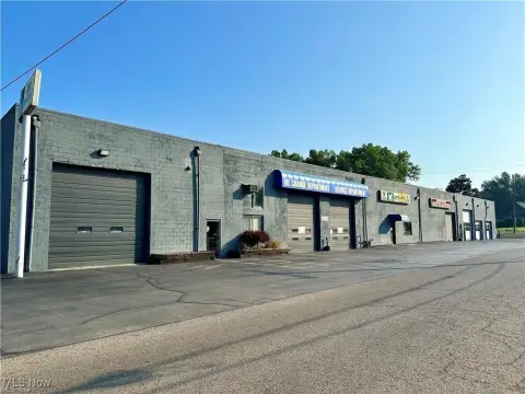
480 Walnut St Niles, OH 44446-2368
Property profile & analytics
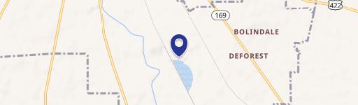
480 Walnut St, Niles, OH 44446-2368
- Industrial properties
- 7,867 SF
- 0.62 lot acres
Property ID
US66-1798450
The Realmo ID is a unique identifier assigned to every property, incorporating country codes and precise geo-coordinates for 300x300-foot land blocks. It enables standardized data collection and seamless integration of disparate sources such as ownership, tax, title data and physical specifications. By aggregating current and historical records, the Realmo ID powers advanced analytics and delivers deep, verifiable insights for real estate professionals.
Location Intelligence
Current Use by Public Records
- Industrial properties
Property Details for 480 Walnut St
- Year built
- 1944
- Lot size
- 0.62 lot acres
- Property type
- Industrial properties
- APN
- 25-714700
- APU
- 25714700
Sales History
| Date | Price | Buyer | Seller | Deed Type | Mortgage |
|---|---|---|---|---|---|
| Sep 1, 2011 | — | Kataud Realty II LLC | George Roman Auctioneers Ltd | Grant Deed | — |
| Sep 1, 2011 | $20,000 | Kataud Realty II LLC | Murray,gerald | Quit Claim Deed · related | — |
| Jul 31, 2006 | — | Robert K Hendricks | — | Trustees Deed · related | $200k · Farmers National Bank Canfield |
| — | — | Robert K Hendricks | — | Deed Of Trust · related | $200k · Farmers National Bank Canfield |
Value Estimations
based on Realmo’s proprietary methodology
-
AI approach
-
CAP approach
-
Comparable approach
-
Alternative Use
Get a detailed, property-specific estimation — fast and free
Location Insight
- Map
- Local Demand
- City
- Niles
- County
- Trumbull
- State
- Ohio
- Longitude
- -80.755
- Latitude
- 41.176
- CBSA code
- 49660
- CBSA name
- YOUNGSTOWN-WARREN-BOARDMAN, OH-PA METROPOLITAN STATISTICAL AREA
Property Tax & Assessments
Tax date
Tax Amount
Assessed Land Value
Assessed Improvement Value
Total Assessed Value
Applied Tax Rate
Land Market Value
Improvement Market Value
Total Market Value
2023
$894
$2,730
$14,000
$16,730
-
$7,800
$40,000
$47,800