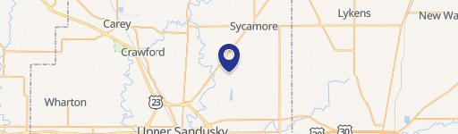
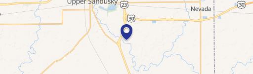
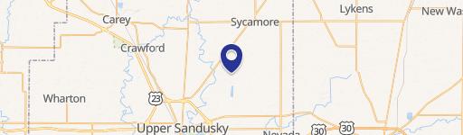
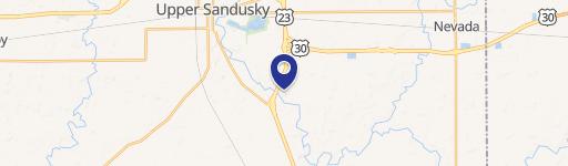
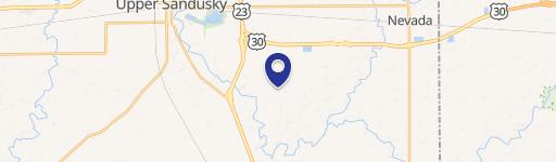
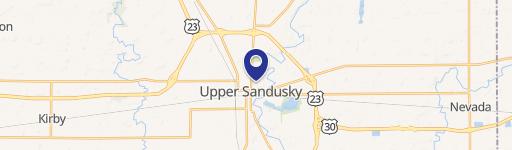
4738 Township Hwy 59 Upper Sandusky, OH 43351-9731
Property profile & analytics
4738 Township Hwy 59, Upper Sandusky, OH 43351-9731
- Mining land & claims
- 77.49 lot acres
Property ID
US66-5112288
The Realmo ID is a unique identifier assigned to every property, incorporating country codes and precise geo-coordinates for 300x300-foot land blocks. It enables standardized data collection and seamless integration of disparate sources such as ownership, tax, title data and physical specifications. By aggregating current and historical records, the Realmo ID powers advanced analytics and delivers deep, verifiable insights for real estate professionals.
Location Intelligence
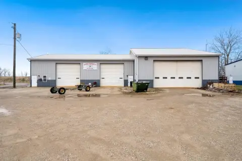
Current Use by Public Records
- National Lime & Stone Co / Building Supply
Property Details for 4738 Township Hwy 59
- Lot size
- 77.49 lot acres
- Property type
- Mining land & claims
- APN
- 26-003000.0000
- APU
- 260030000000
Sales History
| Date | Price | Buyer | Seller | Deed Type | Mortgage |
|---|---|---|---|---|---|
| Nov 17, 2020 | $475,000 | Ohio Midwest Realty Company LLC | A David Gottfried | Warranty Deed | $238k · Brent Gottfried |
| Nov 17, 2020 | — | Ohio Midwest Realty Company LLC | — | Deed · related | $238k · The A David Gottfried Living Trust |
Value Estimations
based on Realmo’s proprietary methodology
-
AI approach
-
CAP approach
-
Comparable approach
-
Alternative Use
Get a detailed, property-specific estimation — fast and free
Location Insight
- Map
- Local Demand
- City
- Upper Sandusky
- County
- Wyandot
- State
- Ohio
- Longitude
- -83.2051
- Latitude
- 40.7929
Property Tax & Assessments
Tax date
Tax Amount
Assessed Land Value
Assessed Improvement Value
Total Assessed Value
Applied Tax Rate
Land Market Value
Improvement Market Value
Total Market Value
2023
$9,097
$231,040
$18,450
$249,490
-
$660,110
$52,710
$712,820