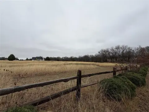
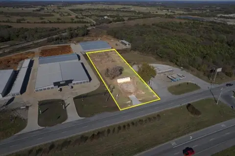
Property profile & analytics
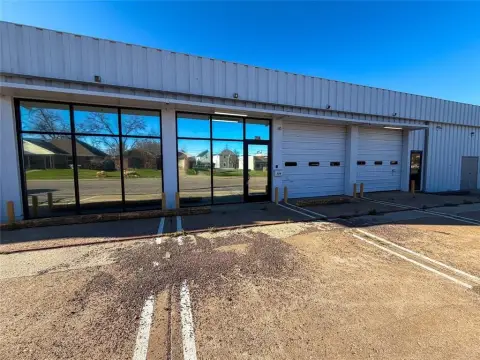
4700 Airport Dr Denison, TX 75020-8713
- Commercial real estate
- 5,553 SF
- 160.00 lot acres
OFF-MARKET
Value Estimations
$920,000
Show details
Cap Rate Potential
Location Intelligence
Property ID
US82-7367488
The Realmo ID is a unique identifier assigned to every property, incorporating country codes and precise geo-coordinates for 300x300-foot land blocks. It enables standardized data collection and seamless integration of disparate sources such as ownership, tax, title data and physical specifications. By aggregating current and historical records, the Realmo ID powers advanced analytics and delivers deep, verifiable insights for real estate professionals.
Current Use by Public Records
- M M Aircraft / Freight Service / Logistics Company
- North Texas Regional Airport / Regional Airport
- Rise Aviation / Aircraft Maintenance Company / Airplane
- Echo 7 Tango Flight School / Vocational School / Training Center
- Grayson County Regional Mobility / County Government Office
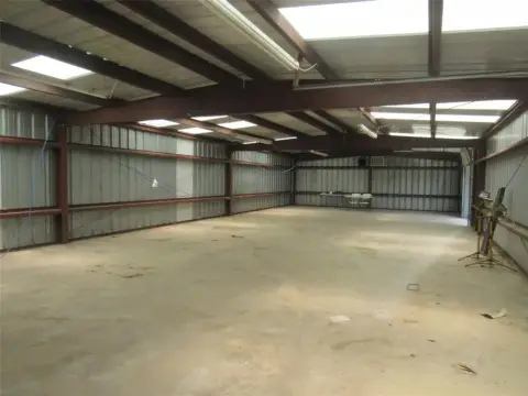
Property Details for 4700 Airport Dr
- Year built
- 1997
- Lot size
- 160.00 lot acres
- Property size
- 5,553 SF
- Property type
- Commercial real estate
- APN
- 099 0577001
- APU
- 990577001
Value Estimations
based on Realmo’s proprietary methodology
-
CAP approach
- CAP Return
- Estimation
- 6%
- $915,000
- 6.5%
- $845,000
- 7%
- $785,000
Get a detailed, property-specific valuation — fast and free
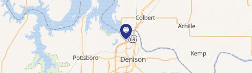
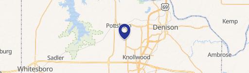
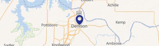
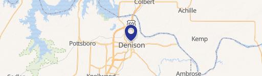
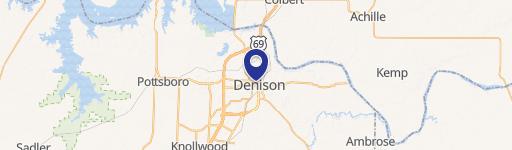
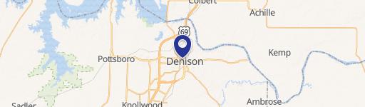
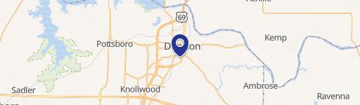
Location Insight
- Map
- Local Demand
- City
- Denison
- County
- Grayson
- State
- Texas
- Longitude
- -96.6704
- Latitude
- 33.7132
- CBSA code
- 43300
- CBSA name
- SHERMAN-DENISON, TX METROPOLITAN STATISTICAL AREA
Property Tax & Assessments
Tax date
Tax Amount
Assessed Land Value
Assessed Improvement Value
Total Assessed Value
Applied Tax Rate
Land Market Value
Improvement Market Value
Total Market Value
2022
$0.00
$3,519,800
$18,032,949
$21,552,749
-
$3,519,800
$18,032,949
$21,552,749