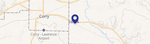
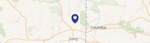
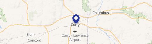
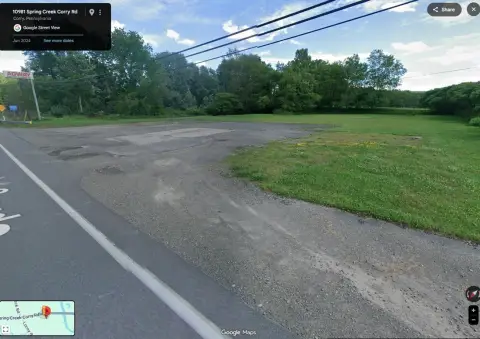
466 Shady Ave Corry, PA 16407-2043
Property profile & analytics
466 Shady Ave, Corry, PA 16407-2043
- Manufacturing properties
- 312,396 SF
- 38.21 lot acres
Property ID
US73-0764034
The Realmo ID is a unique identifier assigned to every property, incorporating country codes and precise geo-coordinates for 300x300-foot land blocks. It enables standardized data collection and seamless integration of disparate sources such as ownership, tax, title data and physical specifications. By aggregating current and historical records, the Realmo ID powers advanced analytics and delivers deep, verifiable insights for real estate professionals.
Location Intelligence
Current Use by Public Records
- FXI / Industrial Manufacturer / Production Facility
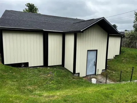
Property Details for 466 Shady Ave
- Year built
- 1980
- Construction
- WOOD
- Lot size
- 38.21 lot acres
- Zone code
- R2
- Property type
- Manufacturing properties
- APN
- 05-030-194.0-001.00
- APU
- 5030194000100
Sales History
| Date | Price | Buyer | Seller | Deed Type | Mortgage |
|---|---|---|---|---|---|
| Jul 20, 2018 | $11,640,200 | Nm Fx LLC | Fxi INC | Quit Claim Deed · related | — |
| Mar 14, 2018 | — | Fxi INC | — | Grant Deed · related | $160M · Suntrust Bk/middle Ga |
| Mar 6, 2018 | — | Fxi INC | — | Grant Deed · related | $525M · Us Bk |
| Nov 22, 2016 | — | Fx1 INC | — | Deed · related | $25M · Suntrust Bk |
| Jul 27, 2009 | $371,083 | Innovations Operating C Foamex | Foamex | Grant Deed · related | — |
| Feb 22, 2007 | — | Foamex | — | Deed Of Trust · related | $425M · Bank Of America |
| Jul 25, 2005 | — | Foamex | — | Deed Of Trust · related | $119M · Silver Point Financial LLC |
| Apr 18, 2005 | — | Foaxmex | — | Deed Of Trust · related | $39M · Silver Point Financial LLC |
| Aug 29, 2003 | — | Foamex LP | — | Deed Of Trust · related | $80M · Silver Point Finance LLC Ttee |
| Apr 4, 2002 | — | Foamex LP | — | Deed Of Trust · related | $300M · Us Bank NA Trustee |
| — | — | Fx1 INC | — | Loan Modification · related | $25M · Suntrust Bk |
| — | — | Innovations Operating C Foamex | — | Deed Of Trust · related | $125k · Wells Fargo Bank |
| — | — | Fxi INC | — | Deed Of Trust · related | $150M · Suntrust Bk |
Value Estimations
based on Realmo’s proprietary methodology
-
Comparable approach
- Method
- Estimation
- AI Estimate
- $3,953,000
Market price range: $1.72M - $5.66M
Get a detailed, property-specific estimation — fast and free
Location Insight
- Map
- Local Demand
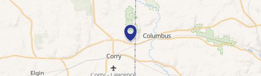
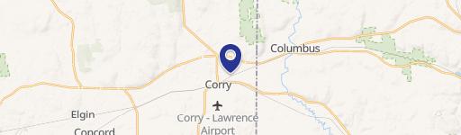
- City
- Corry
- County
- Erie
- State
- Pennsylvania
- Longitude
- -79.6148
- Latitude
- 41.9158
- CBSA code
- 21500
- CBSA name
- ERIE, PA METROPOLITAN STATISTICAL AREA
Property Tax & Assessments
Tax date
Tax Amount
Assessed Land Value
Assessed Improvement Value
Total Assessed Value
Applied Tax Rate
Land Market Value
Improvement Market Value
Total Market Value
2023
$97,763
$327,300
$2,705,600
$3,032,900
-
$327,300
$2,705,600
$3,032,900