
4264 525Th Rd, Mendota, IL 61342
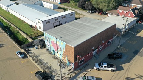
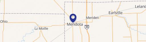
This exceptional 47.36-acre industrial property, located at 4264 E 525th Rd in Mendota, Illinois, presents a significant investment opportunity. Boasting a substantial 2,000,000 square feet of land, this single-tenancy site is ideally situated at the southwest corner of I-39 and US Route 34, a high-traffic intersection already serving food, fuel, and lodging establishments. The property's strategic location ensures excellent visibility and accessibility, making it highly attractive for a variety of commercial and manufacturing uses. The asking price is $3,552,000, translating to a price per square foot of $1.78. The property's Assessed Parcel Number (APN) is 0136100000. This expansive lot offers ample road frontage, providing significant potential for development and expansion. The property is classified as Industrial Land with Commercial and Manufacturing subtypes, within LaSalle County, and has a zip code of 61342. The coordinates are 41.5484168 latitude and -89.0645459 longitude. This is a rare opportunity to acquire a large-scale industrial property in a prime location with existing infrastructure and high traffic volume.
Cap rate
Implied · in-place · derived from last sale + estimated NOIValue
AI, CAP & Alternative Use estimations · Realmo proprietary blendComparables
5 recent transactions · within 1.5 miComparable in this City


Similar Nearby for Sale
Property description
Physical attributes from public recordsZoning & alternative use
Costs & Benchmarks
Operating expenses, capex projections, utility benchmarks, and submarket comparables — all in one view.
Risks
Flood, climate, environmental, title, and tenant-concentration risk — surfaced with mitigations and source citations.


