Property profile & analytics
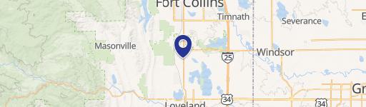
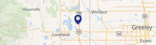
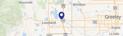
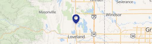
4085 Clydesdale Pkwy Loveland, CO 80538
- Commercial land
- 1.76 lot acres
OFF-MARKET
Value Estimations
Cap Rate Potential
Location Intelligence
Property ID
US13-2288383
The Realmo ID is a unique identifier assigned to every property, incorporating country codes and precise geo-coordinates for 300x300-foot land blocks. It enables standardized data collection and seamless integration of disparate sources such as ownership, tax, title data and physical specifications. By aggregating current and historical records, the Realmo ID powers advanced analytics and delivers deep, verifiable insights for real estate professionals.
Current Use by Public Records
- Commercial land
Property Details for 4085 Clydesdale Pkwy
- Lot size
- 1.76 lot acres
- Property type
- Commercial land
- APN
- 85031-28-002
- APU
- 8503128002
Description
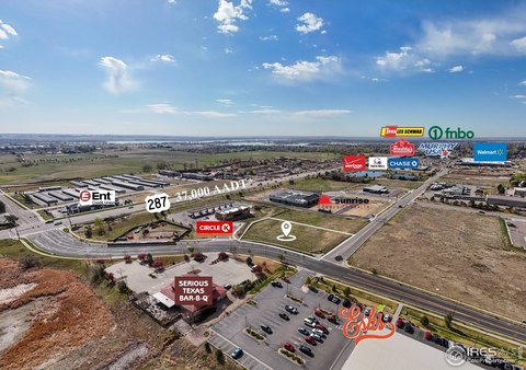
This exceptional investment opportunity presents 1.76 to 3.65 acres of land located at 4085 Clydesdale Pkwy in Loveland, Colorado, zip code 80538. Situated in Larimer County, this property boasts a highly desirable "Developing Industrial" zoning designation, opening doors to a wide range of commercial and industrial uses. The land's strategic location on Clydesdale Parkway, near the intersection with Peralta Drive, offers significant advantages. Its proximity to Interstate 25 provides exceptional visibility and accessibility, benefiting from high traffic volume exceeding 84,000 vehicles per day. This prime location ensures strong potential for attracting tenants and maximizing return on investment. The property's size allows for flexibility in development plans, potentially accommodating joint ventures. The asking price for this remarkable parcel is $959,576. This presents a unique chance to acquire land in a thriving Colorado market with excellent potential for future growth and profitability. Serious inquiries are encouraged to explore the possibilities of this exceptional industrial land offering.
Value Estimations
based on Realmo’s proprietary methodology
-
AI approach
-
CAP approach
-
Comparable approach
-
Alternative Use
Get a detailed, property-specific valuation — fast and free
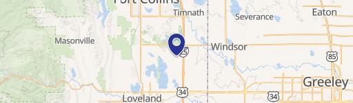
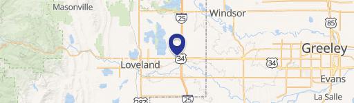
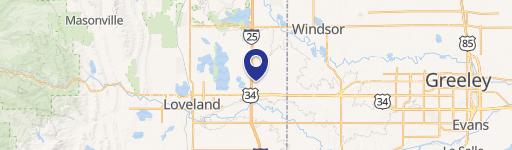
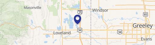
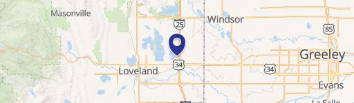
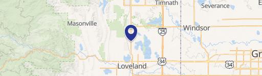
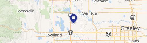
Location Insight
- Map
- Local Demand
- City
- Loveland
- County
- Larimer
- State
- Colorado
- Longitude
- -104.99
- Latitude
- 40.4336
- CBSA code
- 22660
- CBSA name
- FORT COLLINS-LOVELAND, CO METROPOLITAN STATISTICAL AREA
Property Tax & Assessments
Tax date
Tax Amount
Assessed Land Value
Assessed Improvement Value
Total Assessed Value
Applied Tax Rate
Land Market Value
Improvement Market Value
Total Market Value
2023
$17,255
$219,015
$0.00
$219,015
-
$785,000
$0.00
$785,000