Back to Search
Property profile & analytics
OFF-MARKET
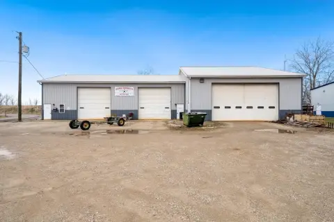
Retail space
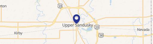
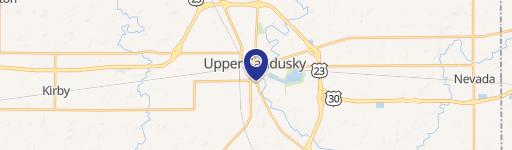
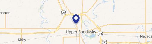
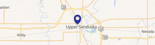
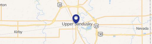
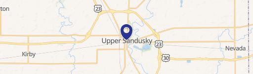
400 Sandusky Ave Upper Sandusky, OH 43351-1567
Entity Owned
1-yr Hold
~
Est. High Equity
Property ID
US66-4637265
Property profile
Verified
Property type
Retail space
Use group
RETAIL STORES (PERSONAL SERVICES)
APN
06-100010.0000
UPID
US66-4637265
Cap rate & NOI
Priority signal for investors
Implied cap rate, NOI & suggested price
Cap rate vs submarket · NOI estimate · 3 price anchors
Implied cap rate, NOI & suggested price
Cap vs submarket · NOI estimate · 3 price anchors
Current use
Occupant on record · Public records
-
UIS Insurance & Investments Insurance Agency
-
Schuster's Flower Shop (Bike/Boat/Book/etc) Store Florist
Value estimations
Realmo proprietary · 4 methods
AI Approach
AI
by Request
CAP Approach
CAP
by Request
Comparable Approach
Comparable
by Request
Blend (final)
Blend
by Request
Owner & transaction history
Fs Rei LLC · 1 yrs held
Fs Rei LLC
since 2024
Last sale
$205,000
5 recorded transactions
Zoning & alternative use
Permitted uses
Permitted uses
Allowed · conditional · prohibited
Cap rate
Implied · in-place · derived from last sale + estimated NOI
Implied Cap rate
#1
Implied · in-place · NOI ÷ last sale
In-place · derived from last sale + estimated NOI
Cap rate, NOI & submarket benchmark
Implied cap rate vs Upper Sandusky submarket · NOI estimate · Typical band, median & reading
Implied cap rate, NOI & submarket benchmark
Cap vs Upper Sandusky submarket · NOI estimate · typical band, median & reading
Refine your cap rate
8-question underwriting flow
1.
Property current status — Going-In vs Stabilized
2.
Price for denominator — asking / offer / market
3.
Leasing status & lease structure (NNN / Gross)
4.
Tenant risk profile & vacancy assumption
5.
Upload T12 / rent roll / OM (optional)
Refine in 60 seconds, get exact suggested price
T12 upload · Submarket benchmarks · Sensitivity grid
Suggested price · 3 cap rate anchors
Income approach @ 5% / 7% / 9% — aggressive / typical / conservative
Suggested price at 5% / 7% / 9% cap
Aggressive / typical / conservative · Implied $/SF per anchor · Sensitivity grid
Suggested price at 5% / 7% / 9% cap
Aggressive / typical / conservative · implied $/SF · sensitivity
Value
AI, CAP & Alternative Use estimations · Realmo proprietary blendValue Estimations
Based on Realmo’s proprietary methodology
AI Approach
CAP Approach
Comparable Approach
Alternative Use
Get a detailed, property-specific estimation — fast and free
Price per SF
Sale + rent benchmarks
Subject property
—
Submarket sale & rent benchmarks
Median sale $/SF · Asking & closed rent · Submarket vacancy
Submarket sale & rent benchmarks
Median sale $/SF · asking & closed rent · submarket vacancy
Property tax & assessments
Tax year 2023Property tax & assessments
Tax year 2023
Tax billed
$720
Tax year 2023
Assessed value
$19,260
Assessed 2023
Previous assessed
$19,260
+0.0% YoY
Effective rate
3.74%
On assessed value
Assessed land
$2,070
Assessed improvement
$17,190
Land market value
$5,910
Improvement market value
$49,110
Total market value
$55,020
Applied tax rate
6.0000
Comparables
6 recent transactions · within 1.5 miComparable in this city
6 recent transactions
Comparable in this City

Similar Nearby for Sale


Recent comparable sales
Sale price & price/SF · Sale date & distance · Adjustments & confidence
Recent comparable sales
Sale price & $/SF · sale date & distance · adjustments
Property description
Physical attributes from public recordsBuilding & lot
Public records
Property type
Retail space
Use group
RETAIL STORES (PERSONAL SERVICES)
Status
Off-Market
APN
06-100010.0000
UPID
US66-4637265
Jurisdiction
WYANDOT
Zoning & alternative use
Zoning · permitted uses
Permitted & conditional uses
Allowed uses · Special-permit conditions · Prohibited uses
Permitted & conditional uses
Allowed · special-permit conditions · prohibited
Current owner
From public records · entity-resolved
Fs Rei LLC
Entity
Mailing address
400 S SANDUSKY AVE, UPPER SANDUSKY, OH 43351-1567
Mailing matches property
Yes
Owner-occupied
Yes
Ownership since
2024
Owner contacts — direct phone, email, and related entities
Decision-maker phone · Verified email · Related entities & filings
Owner contacts
Email · phone · related entities
Sales History
5 recorded events · public records
Date
Price
Buyer
Seller
Deed Type
Mortgage
Oct 30, 2024
$265,275
Fs Rei LLC
Rs Financial Limited
Warranty Deed
$2,074,516 · The Old Fort Banking Company
Jun 28, 2024
$205,000
Brodman Farm
Robin Schuster
Land Contract
$205,000 · Not Available
Jan 30, 2020
—
Rs Financial Limited
—
Deed
related
$762,500 · The Old Fort Banking Company
Feb 22, 2019
—
Rs Financial Limited Liability Comp
—
Deed
related
$518,500 · The First National Bank Of Sycamore
Mar 9, 2018
—
Rs Financial Ltd
—
Deed
related
$335,151 · The Old Fort Banking Company
Coming soon
Costs & Benchmarks
Operating expenses, capex projections, utility benchmarks, and submarket comparables — all in one view.
Coming soon
Risks
Flood, climate, environmental, title, and tenant-concentration risk — surfaced with mitigations and source citations.
Try Rey
Ask anything about this address in plain English.
“Is 15.6% cap rate sustainable?” · “Best tenant mix for BU1?” · “What’s the redev upside?”
You own 400 Sandusky Ave?
List it free. Reach 20,000 daily buyers.
We’ve already pulled the facts. Confirm photos + price and you’re live in 2 minutes.
List this address →
Full reports are paid
Unlock the full Property Analytics report
Start free for 7 days — no card required. Full owner contacts, all 4 valuations with methodology, refine flow, comparable adjustments, foot-traffic deep dive, export to PDF / CSV.


