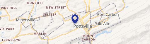
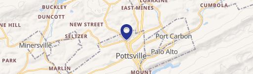
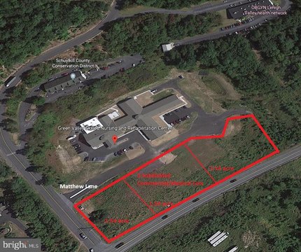
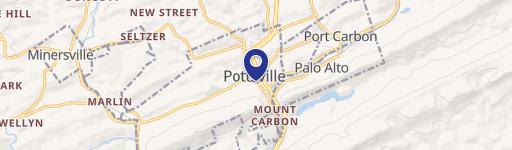
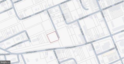
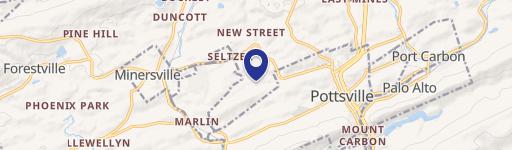
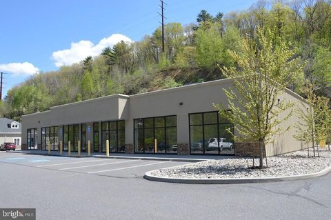
400 Mahantongo St Pottsville, PA 17901-3041
Property profile & analytics
400 Mahantongo St, Pottsville, PA 17901-3041
- Commercial land
- 0.10 lot acres
Property ID
US73-5292222
The Realmo ID is a unique identifier assigned to every property, incorporating country codes and precise geo-coordinates for 300x300-foot land blocks. It enables standardized data collection and seamless integration of disparate sources such as ownership, tax, title data and physical specifications. By aggregating current and historical records, the Realmo ID powers advanced analytics and delivers deep, verifiable insights for real estate professionals.
Location Intelligence
Current Use by Public Records
- Commercial land
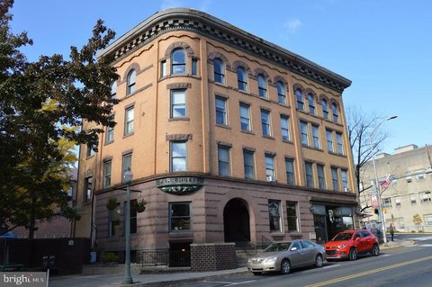
Property Details for 400 Mahantongo St
- Year built
- 1873
- Construction
- MASONRY/CONCRETE MASONRY UNITS (CMUS)
- Lot size
- 0.10 lot acres
- Property type
- Commercial land
- APN
- 68-27-0405.000
- APU
- 68270405000
Sales History
| Date | Price | Buyer | Seller | Deed Type | Mortgage |
|---|---|---|---|---|---|
| May 30, 2025 | $32,940 | Nmh LLC | Redevelopment Authority Of The City | Deed | — |
| May 4, 2022 | — | Redevelopment Authority Of City Of | Nmh LLC | Deed | — |
| Feb 15, 2022 | $140,000 | Nmh LLC | First Citizens Community Bank | Deed | — |
| Jul 12, 2021 | $4,515 | First Citizens Community Bank | Koperna Realty | Sheriffs Deed · related | — |
Value Estimations
based on Realmo’s proprietary methodology
-
AI approach
-
CAP approach
-
Comparable approach
-
Alternative Use
Get a detailed, property-specific estimation — fast and free
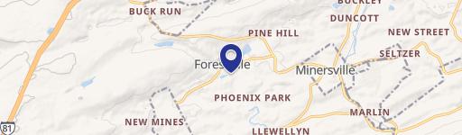
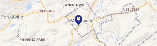
Location Insight
- Map
- Local Demand
- City
- Pottsville
- County
- Schuylkill
- State
- Pennsylvania
- Longitude
- -76.1973
- Latitude
- 40.6835
- CBSA code
- 39060
- CBSA name
- POTTSVILLE, PA MICROPOLITAN STATISTICAL AREA
Property Tax & Assessments
Tax date
Tax Amount
Assessed Land Value
Assessed Improvement Value
Total Assessed Value
Applied Tax Rate
Land Market Value
Improvement Market Value
Total Market Value
2024
$567
$6,750
$0.00
$6,750
-
$13,500
$0.00
$13,500