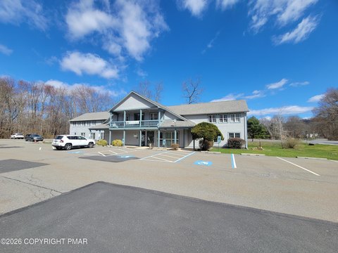
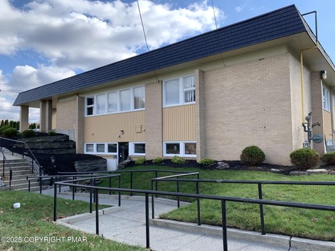
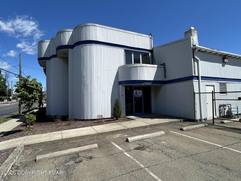
395 Courtland St East Stroudsburg, PA 18301-1929
Property profile & analytics
395 Courtland St, East Stroudsburg, PA 18301-1929
- Commercial real estate
- 4,046 SF
- 0.17 lot acres
Property ID
US73-0127033
The Realmo ID is a unique identifier assigned to every property, incorporating country codes and precise geo-coordinates for 300x300-foot land blocks. It enables standardized data collection and seamless integration of disparate sources such as ownership, tax, title data and physical specifications. By aggregating current and historical records, the Realmo ID powers advanced analytics and delivers deep, verifiable insights for real estate professionals.
Location Intelligence
Current Use by Public Records
- Commercial real estate
Property Details for 395 Courtland St
- Year built
- 1928
- Lot size
- 0.17 lot acres
- Zone code
- C-2
- Property type
- Commercial real estate
- APN
- 05-6.2.7.7
- APU
- 56277
Sales History
| Date | Price | Buyer | Seller | Deed Type | Mortgage |
|---|---|---|---|---|---|
| May 31, 2017 | $85,000 | Renie Lisbo | Bayview Ln Svcg LLC | Grant Deed | — |
| Apr 29, 2016 | $12,692 | Bayview Ln Svcg LLC | Deputy Sheriff Of Monroe County|mauricio,alcides | Trustees Deed · related | — |
| — | — | Alcides Mauricio | — | Deed Of Trust · related | $256k · Interbay Funding LLC |
Value Estimations
based on Realmo’s proprietary methodology
-
AI approach
-
CAP approach
-
Comparable approach
-
Alternative Use
Get a detailed, property-specific estimation — fast and free
Location Insight
- Map
- Local Demand
- City
- East Stroudsburg
- County
- Monroe
- State
- Pennsylvania
- Longitude
- -75.1849
- Latitude
- 41.0098
- CBSA code
- 20700
- CBSA name
- EAST STROUDSBURG, PA MICROPOLITAN STATISTICAL AREA
Property Tax & Assessments
Tax date
Tax Amount
Assessed Land Value
Assessed Improvement Value
Total Assessed Value
Applied Tax Rate
Land Market Value
Improvement Market Value
Total Market Value
2024
$1,431
$84,000
$54,400
$138,400
-
$84,000
$54,400
$138,400