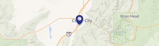
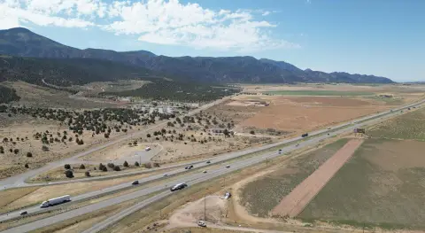
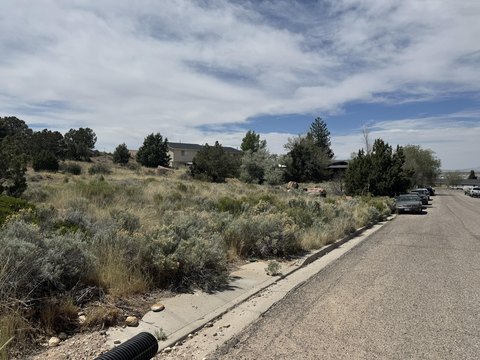
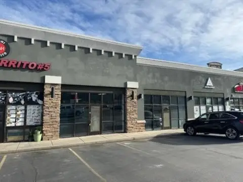
390 200th E Cedar City, UT 84720-3406
Property profile & analytics
390 200th E, Cedar City, UT 84720-3406
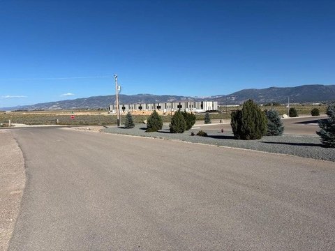
- Commercial land
- 0.55 lot acres
Property ID
US86-0942049
The Realmo ID is a unique identifier assigned to every property, incorporating country codes and precise geo-coordinates for 300x300-foot land blocks. It enables standardized data collection and seamless integration of disparate sources such as ownership, tax, title data and physical specifications. By aggregating current and historical records, the Realmo ID powers advanced analytics and delivers deep, verifiable insights for real estate professionals.
Location Intelligence
Current Use by Public Records
- Commercial land
Property Details for 390 200th E
- Lot size
- 0.55 lot acres
- Property type
- Commercial land
- APN
- B-0898-0000-0000
- APU
- B089800000000
Sales History
| Date | Price | Buyer | Seller | Deed Type | Mortgage |
|---|---|---|---|---|---|
| Sep 22, 2020 | — | 1928 Project LLC | — | Deed · related | $597k · Zb NA |
| Jul 21, 2017 | — | 1928 Project LLC | — | Deed · related | $650k · Cache Valley Bank |
| Jul 11, 2017 | — | 1928 Project LLC | 1928 Project LLC | Intrafamily Transfer · related | — |
| Jan 31, 2017 | — | Project 1928 LLC | Marchant Brothers Investments LLC | Warranty Deed | — |
Value Estimations
based on Realmo’s proprietary methodology
-
AI approach
-
CAP approach
-
Comparable approach
-
Alternative Use
Get a detailed, property-specific estimation — fast and free
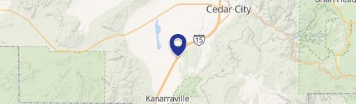
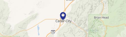
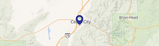
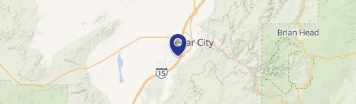
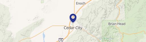
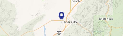
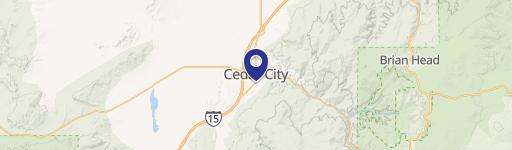
Location Insight
- Map
- Local Demand
- City
- Cedar City
- County
- Iron
- State
- Utah
- Longitude
- -113.066
- Latitude
- 37.6837
- CBSA code
- 16260
- CBSA name
- CEDAR CITY, UT MICROPOLITAN STATISTICAL AREA
Property Tax & Assessments
Tax date
Tax Amount
Assessed Land Value
Assessed Improvement Value
Total Assessed Value
Applied Tax Rate
Land Market Value
Improvement Market Value
Total Market Value
2023
$894
$0.00
$0.00
$112,120
-
$112,123
$0.00
$112,123