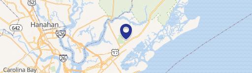
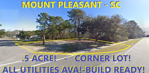
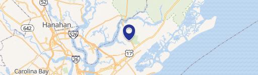
3557 Hwy 17 Mount Pleasant, SC 29466-9174
Property profile & analytics
3557 Hwy 17, Mount Pleasant, SC 29466-9174
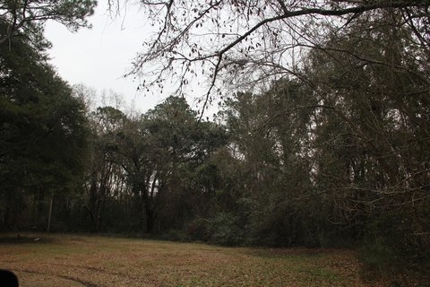
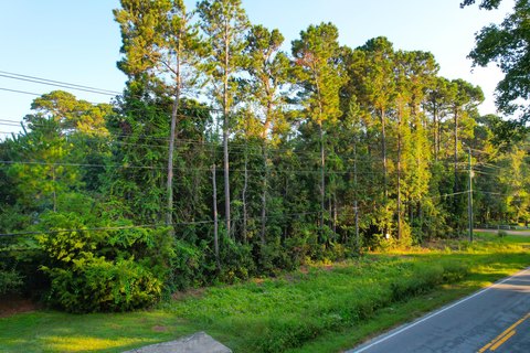
- Commercial land
- 1.00 lot acres
Property ID
US77-0562524
The Realmo ID is a unique identifier assigned to every property, incorporating country codes and precise geo-coordinates for 300x300-foot land blocks. It enables standardized data collection and seamless integration of disparate sources such as ownership, tax, title data and physical specifications. By aggregating current and historical records, the Realmo ID powers advanced analytics and delivers deep, verifiable insights for real estate professionals.
Location Intelligence
Current Use by Public Records
- Commercial land
Property Details for 3557 Hwy 17
- Lot size
- 1.00 lot acres
- Property type
- Commercial land
- APN
- 614-00-00-009
- APU
- 6140000009
Sales History
| Date | Price | Buyer | Seller | Deed Type | Mortgage |
|---|---|---|---|---|---|
| Dec 11, 2023 | $2,750,000 | Commissioners Of Public Works For T | Joseph Connor Dunlap Gillespie | Deed | — |
| Oct 15, 2021 | — | Edward Gillespie | Commercial Property Development LLC | Intrafamily Transfer · related | — |
| Mar 18, 2010 | — | Commercial Property Dev LLC | Irish Lads LLC | Grant Deed · related | — |
| Oct 28, 2008 | $875,000 | Irish Lads LLC | Darby,charles P III | Grant Deed | — |
Value Estimations
based on Realmo’s proprietary methodology
-
AI approach
- Method
- Estimation
- Statistic approach
- $3,790,000
Get a detailed, property-specific estimation — fast and free
Location Insight
- Map
- Local Demand
- City
- Mount Pleasant
- County
- Charleston
- State
- South Carolina
- Longitude
- -79.7634
- Latitude
- 32.8789
- CBSA code
- 16700
- CBSA name
- CHARLESTON-NORTH CHARLESTON, SC METROPOLITAN STATISTICAL AREA
Property Tax & Assessments
Tax date
Tax Amount
Assessed Land Value
Assessed Improvement Value
Total Assessed Value
Applied Tax Rate
Land Market Value
Improvement Market Value
Total Market Value
2023
$9,595
$0.00
$0.00
$40,370
-
$784,080
$0.00
$784,080