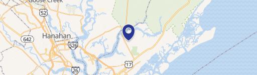
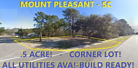
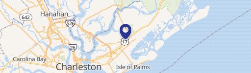
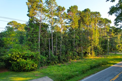
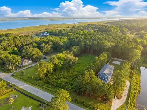
Hwy 17th N Mount Pleasant, SC 29466
Property profile & analytics
Hwy 17th N, Mount Pleasant, SC 29466
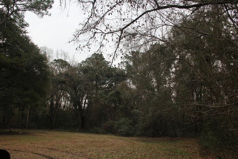
- Commercial land
- 0.13 lot acres
Property ID
US77-2255672
The Realmo ID is a unique identifier assigned to every property, incorporating country codes and precise geo-coordinates for 300x300-foot land blocks. It enables standardized data collection and seamless integration of disparate sources such as ownership, tax, title data and physical specifications. By aggregating current and historical records, the Realmo ID powers advanced analytics and delivers deep, verifiable insights for real estate professionals.
Location Intelligence
Current Use by Public Records
- Commercial land
Property Details for Hwy 17th N
- Lot size
- 0.13 lot acres
- Property type
- Commercial land
- APN
- 598-00-00-058
- APU
- 5980000058
Sales History
| Date | Price | Buyer | Seller | Deed Type | Mortgage |
|---|---|---|---|---|---|
| Dec 10, 2009 | — | Wstn Mt Pleasant Park W Inland | — | Deed Of Trust · related | $500M · J P Morgan Chase Bank |
| Nov 10, 2004 | $12,100,734 | Wstn Mt Pleasant Park W Inland | Continental 130 Fund LLC | Warranty Deed | — |
Value Estimations
based on Realmo’s proprietary methodology
-
AI approach
-
CAP approach
-
Comparable approach
-
Alternative Use
Get a detailed, property-specific estimation — fast and free
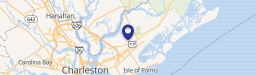
Location Insight
- Map
- Local Demand
- City
- Mount Pleasant
- County
- Charleston
- State
- South Carolina
- Longitude
- -79.7802
- Latitude
- 32.8732
- CBSA code
- 16700
- CBSA name
- CHARLESTON-NORTH CHARLESTON, SC METROPOLITAN STATISTICAL AREA
Property Tax & Assessments
Tax date
Tax Amount
Assessed Land Value
Assessed Improvement Value
Total Assessed Value
Applied Tax Rate
Land Market Value
Improvement Market Value
Total Market Value
2023
$324
$0.00
$0.00
$1,200
-
$20,000
$0.00
$20,000