 For Sale
1 / 12
For Sale
1 / 12
Property summary
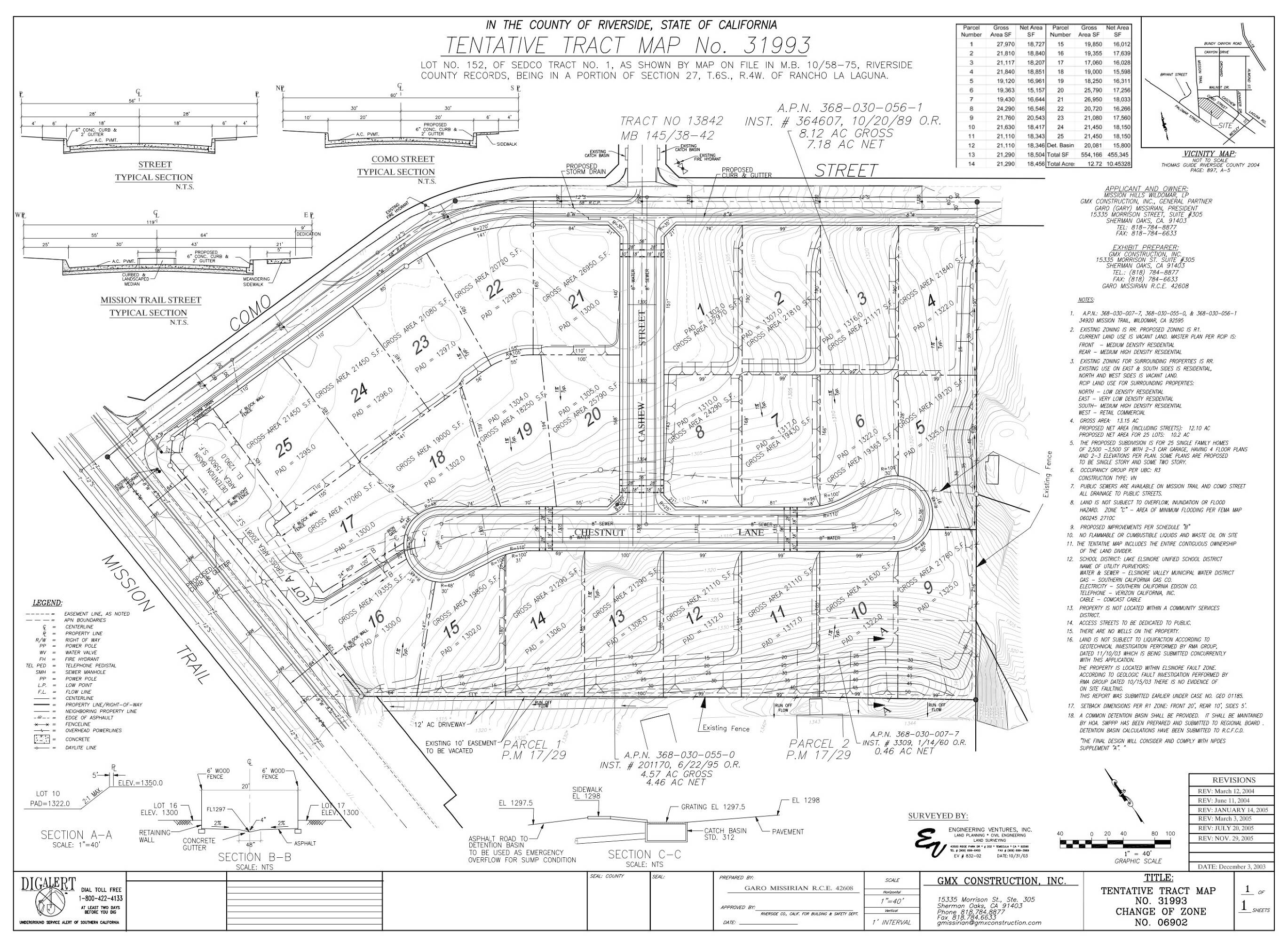
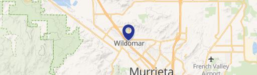
This exceptional 12-acre parcel, located at 34920 Mission Trail in Wildomar, California (zip code 92595), presents a remarkable builder/investor opportunity. Currently zoned R1-15000, the property boasts an expired Tentative Tract Map for 25 residential lots. Complete with a grading map, soils report, survey, and water and sewer plan, this offering significantly streamlines the development process. The APN is 368-030-055,056,007. Situated on a highly visible corner of Como Street and Mission Trail, this land benefits from its location on a major thoroughfare connecting Lake Elsinore, Wildomar, Murrieta, and Temecula. The area is experiencing significant growth, with an estimated population exceeding 37,000 and rising. Nearby amenities include schools with above-average ratings, Kaiser Permanente Wildomar Medical Center, shopping centers (including the Lake Elsinore Outlets), and recreational opportunities at Lake Elsinore. Easy access to the I-15 freeway provides convenient connections to Riverside, San Bernardino, Orange, and San Diego counties, while Highway 74 offers a route to San Juan Capistrano. The property's prime location, existing infrastructure, and potential for residential development make it an attractive investment. While the existing Tentative Tract Map is expired, it provides a solid foundation for future development. Buyers are advised to conduct their own due diligence regarding potential uses.
Property profile
VerifiedCap rate & NOI
Location
Value estimations
Owner & transaction history
Comparables
6 recent transactions · within 1.5 miComparable in this City


Similar Nearby for Sale


Similar Nearby for Lease



Value estimation
Instant AI valuation built from comps, income signals, and proprietary benchmarks. A defensible range, not a single guess.
from $99/month
Cap rate
Cap rate calculated from real income and expense signals, benchmarked against sales of similar assets nearby.
from $99/month
Property description
Physical attributes from public recordsZoning & alternative use
Zoning
The recorded zoning designation, what the district officially allows, and the municipal source it comes from.
No zoning code is on file for this parcel. Zoning coverage grows with every catalog release — check back, or open Location Intelligence for use analysis of this corner.
Find the owner behind the property.
Unlock the evidence behind ownership: portfolio, transactions, debt and signals that help you decide who to contact next.
Registration is required before any owner information is shown.
- Full Property Data
- Historical Records
- Value Estimation
- NOI Potential
- Cap Rate Calculation
- Ownership
- Location Insight
- Alternative use
- Local Zoning Insight
Cancel anytime.
- 30 reports a month
- Location Analytics
- Market Trends
- Full Property Data
- Historical Records
- Value Estimation
- NOI Potential
- Cap Rate Calculation
- Ownership
- Location Insight
- Alternative use
- Local Zoning Insight
Cancel anytime.
- 300 reports a month
- Location Analytics
- Market Trends
- Full Property Data
- Historical Records
- Value Estimation
- NOI Potential
- Cap Rate Calculation
- Ownership
- Location Insight
- Alternative use
- Local Zoning Insight
and get 1 Light Report
- Property Information
- Historical Records
- Value Estimation
- NOI Potential
- Cap Rate Potential
- Location Insight
- Alternative use
- Local Zoning Insight


