347 10th St Kansas City, KS 66102-5228
Property profile & analytics
347 10th St, Kansas City, KS 66102-5228
- Apartment buildings
- 1,880 SF
- 0.10 lot acres
Property ID
US33-0714652
The Realmo ID is a unique identifier assigned to every property, incorporating country codes and precise geo-coordinates for 300x300-foot land blocks. It enables standardized data collection and seamless integration of disparate sources such as ownership, tax, title data and physical specifications. By aggregating current and historical records, the Realmo ID powers advanced analytics and delivers deep, verifiable insights for real estate professionals.
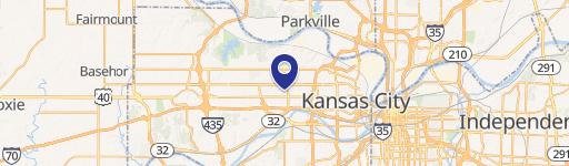
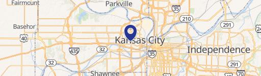
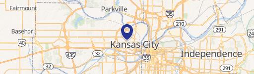
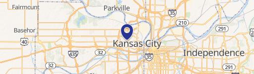
Location Intelligence
Current Use by Public Records
- Apartment buildings
Property Details for 347 10th St
- Year built
- 1910
- Construction
- FRAME
- Lot size
- 0.10 lot acres
- Property type
- Apartment buildings
- APN
- 92905
- APU
- 92905
Sales History
| Date | Price | Buyer | Seller | Deed Type | Mortgage |
|---|---|---|---|---|---|
| Dec 7, 2022 | — | Chapman Properties | Anne Mahoney Monachino | Quit Claim Deed | $120k · First Federal Savings & Loan Bank |
| Dec 31, 2009 | — | Chapman Properties LLC | Anne Mahoney Monachino | Quit Claim Deed · related | — |
| Jan 16, 2008 | — | Anne Mahoney Monachino | Mary Ann Chapman | Beneficiary Deed | — |
Value Estimations
based on Realmo’s proprietary methodology
-
AI approach
-
CAP approach
-
Comparable approach
-
Alternative Use
Get a detailed, property-specific estimation — fast and free
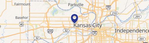
Location Insight
- Map
- Local Demand
- City
- Kansas City
- County
- Wyandotte
- State
- Kansas
- Longitude
- -94.6352
- Latitude
- 39.1093
- CBSA code
- 28140
- CBSA name
- KANSAS CITY, MO-KS METROPOLITAN STATISTICAL AREA
Property Tax & Assessments
Tax date
Tax Amount
Assessed Land Value
Assessed Improvement Value
Total Assessed Value
Applied Tax Rate
Land Market Value
Improvement Market Value
Total Market Value
2023
$1,479
$1,409
$8,171
$9,580
-
$12,250
$71,050
$83,300