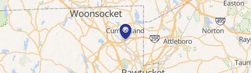
300 Maple Rdg Dr Cumberland, RI 02864-8707
A-2: Agricultural Medium Density and One-Household District. This zoning district is intended for agricultural use and rural density single dwelling unit detached structures, located on lots with a minimum land area of 80,000 square feet. (c) Residential.
Cap rate
Implied · in-place · derived from last sale + estimated NOIValue
AI, CAP & Alternative Use estimations · Realmo proprietary blendProperty tax & assessments
Tax year 2024Comparables
6 recent transactions · within 1.5 miComparable in this City


Similar Nearby for Sale


Similar Nearby for Lease


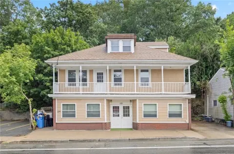
Property description
Physical attributes from public recordsZoning & alternative use
A-2 · Cumberland, RIA-2: Agricultural Medium Density and One-Household District. This zoning district is intended for agricultural use and rural density single dwelling unit detached structures, located on lots with a minimum land area of 80,000 square feet. (c) Residential.
No recorded transactions found for this property.
Costs & Benchmarks
Operating expenses, capex projections, utility benchmarks, and submarket comparables — all in one view.
Risks
Flood, climate, environmental, title, and tenant-concentration risk — surfaced with mitigations and source citations.


