289 New Portland Rd Gorham, ME 04038-1867
Property profile & analytics
289 New Portland Rd, Gorham, ME 04038-1867
- Warehouses
- 10,368 SF
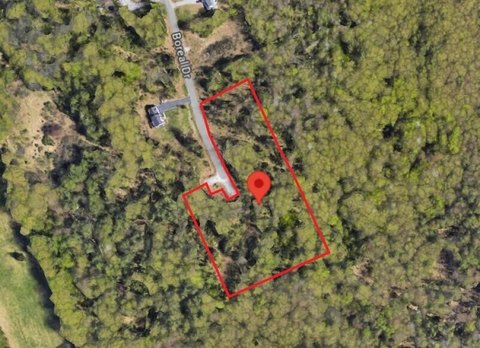
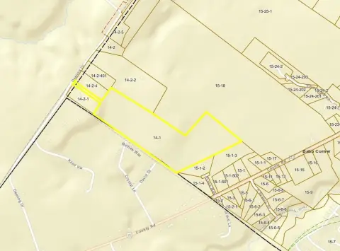
- 3.90 lot acres
Property ID
US42-0186879
The Realmo ID is a unique identifier assigned to every property, incorporating country codes and precise geo-coordinates for 300x300-foot land blocks. It enables standardized data collection and seamless integration of disparate sources such as ownership, tax, title data and physical specifications. By aggregating current and historical records, the Realmo ID powers advanced analytics and delivers deep, verifiable insights for real estate professionals.
Location Intelligence
Current Use by Public Records
- Warehouses
Property Details for 289 New Portland Rd
- Year built
- 1981
- Construction
- STEEL FRAME
- Lot size
- 3.90 lot acres
- Zone code
- I
- Property type
- Warehouses
- APN
- GRHM M:011 B:013 L:000
- APU
- GRHMM011B013L000
Sales History
| Date | Price | Buyer | Seller | Deed Type | Mortgage |
|---|---|---|---|---|---|
| Dec 9, 2021 | — | 789 Development LLC | — | Deed · related | $800k · Skowhegan Savings Bank |
| Aug 18, 2021 | — | 789 Development LLC | 289 New Portland Road LLC | Quit Claim Deed · related | $2M · Greg Otterbein |
| Aug 13, 2020 | — | 289 New Portland Road LLC | Ics Realty LLC | Quit Claim Deed · related | $470k · Bangor Savings Bank |
| Jan 13, 2020 | — | Ics Realty LLC | — | Deed · related | $100k · Bath Svgs Institution |
| Aug 6, 2012 | — | Ics Realty LLC | — | Deed Of Trust · related | $150k · City Of Portland (me) |
| Jun 2, 2005 | — | Ics Realty LLC | — | Deed Of Trust · related | $452k · City Of Portland (me) |
| — | — | Ics Realty LLC | — | Deed Of Trust · related | $100k · Bath Svgs Institution |
Value Estimations
based on Realmo’s proprietary methodology
-
AI approach
-
CAP approach
-
Comparable approach
-
Alternative Use
Get a detailed, property-specific estimation — fast and free
Location Insight
- Map
- Local Demand
- City
- Gorham
- County
- Cumberland
- State
- Maine
- Longitude
- -70.3981
- Latitude
- 43.6773
- CBSA code
- 38860
- CBSA name
- PORTLAND-SOUTH PORTLAND-BIDDEFORD, ME METROPOLITAN STATISTICAL AREA
Property Tax & Assessments
Tax date
Tax Amount
Assessed Land Value
Assessed Improvement Value
Total Assessed Value
Applied Tax Rate
Land Market Value
Improvement Market Value
Total Market Value
2023
$11,342
$333,400
$491,500
$824,900
-
$0.00
$0.00
$0.00