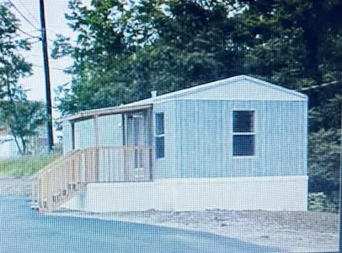
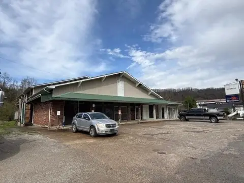
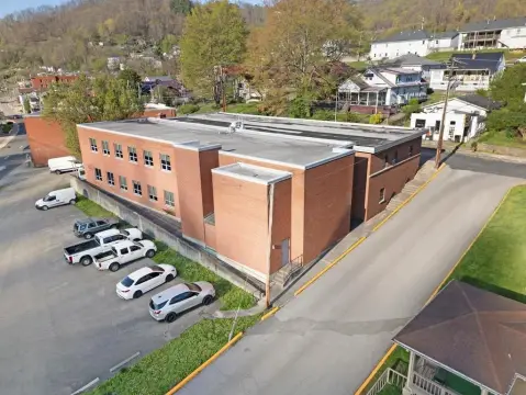
28 Marys Dr Hazard, KY 41701-9079
Property profile & analytics
28 Marys Dr, Hazard, KY 41701-9079
- Retail space
- 1,200 SF
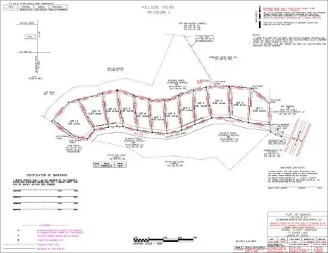
- 0.50 lot acres
Property ID
US34-1948149
The Realmo ID is a unique identifier assigned to every property, incorporating country codes and precise geo-coordinates for 300x300-foot land blocks. It enables standardized data collection and seamless integration of disparate sources such as ownership, tax, title data and physical specifications. By aggregating current and historical records, the Realmo ID powers advanced analytics and delivers deep, verifiable insights for real estate professionals.
Location Intelligence
Current Use by Public Records
- Retail space
Property Details for 28 Marys Dr
- Year built
- 1978
- Construction
- TYPE NOT SPECIFIED
- Lot size
- 0.50 lot acres
- Property type
- Retail space
- APN
- 018-00 00 003.06
- APU
- 18000000306
Sales History
| Date | Price | Buyer | Seller | Deed Type | Mortgage |
|---|---|---|---|---|---|
| Mar 22, 2017 | $10,000 | Mary Susan Bohrer | Johnny Jones | Deed | — |
Value Estimations
based on Realmo’s proprietary methodology
-
AI approach
-
CAP approach
-
Comparable approach
-
Alternative Use
Get a detailed, property-specific estimation — fast and free
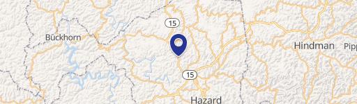
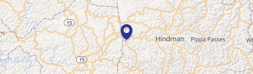
Location Insight
- Map
- Local Demand
- City
- Hazard
- County
- Knott
- State
- Kentucky
- Longitude
- -83.0881
- Latitude
- 37.3111
Property Tax & Assessments
Tax date
Tax Amount
Assessed Land Value
Assessed Improvement Value
Total Assessed Value
Applied Tax Rate
Land Market Value
Improvement Market Value
Total Market Value
2023
$10
$0.00
$0.00
$10,000
-
$0.00
$0.00
$10,000