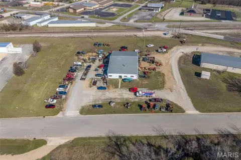
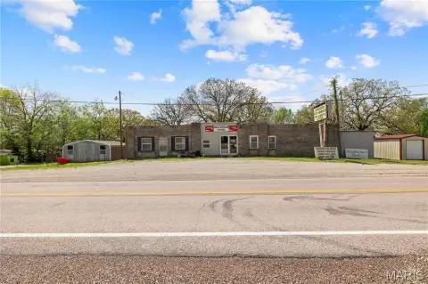
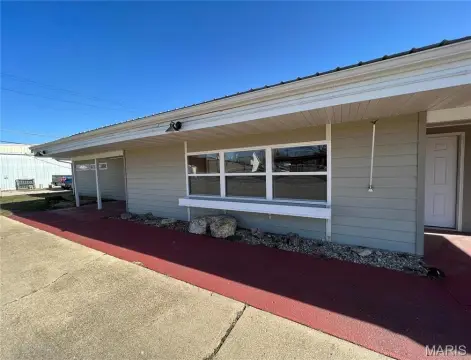
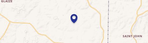
27050 Hwy 133 Richland, MO 65556-7434
Property profile & analytics
27050 Hwy 133, Richland, MO 65556-7434
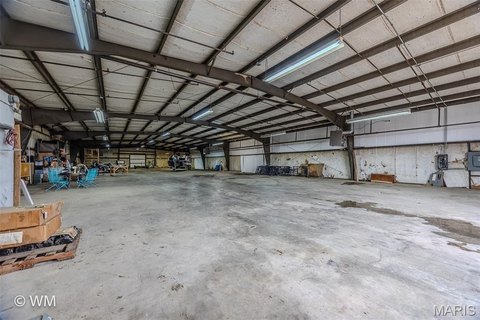
- Turn key restaurants
- 6,880 SF
- 23.20 lot acres
Property ID
US48-1371282
The Realmo ID is a unique identifier assigned to every property, incorporating country codes and precise geo-coordinates for 300x300-foot land blocks. It enables standardized data collection and seamless integration of disparate sources such as ownership, tax, title data and physical specifications. By aggregating current and historical records, the Realmo ID powers advanced analytics and delivers deep, verifiable insights for real estate professionals.
Location Intelligence
Current Use by Public Records
- Turn key restaurants
Property Details for 27050 Hwy 133
- Year built
- 1987
- Lot size
- 23.20 lot acres
- Property type
- Turn key restaurants
- APN
- 13-4.0-18-000-000-002.000
- APU
- 134018000000002000
Sales History
| Date | Price | Buyer | Seller | Deed Type | Mortgage |
|---|---|---|---|---|---|
| May 12, 2017 | — | Spirit Spe Portfolio Ca | Us Assets INC | Warranty Deed | — |
| Jun 11, 2010 | — | Outback Development LLC | Darrell L Marin | Warranty Deed | — |
Value Estimations
based on Realmo’s proprietary methodology
-
AI approach
-
CAP approach
-
Comparable approach
-
Alternative Use
Get a detailed, property-specific estimation — fast and free
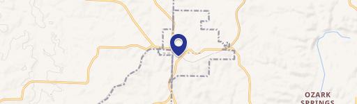
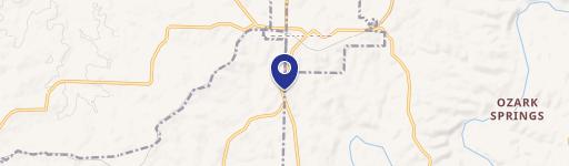
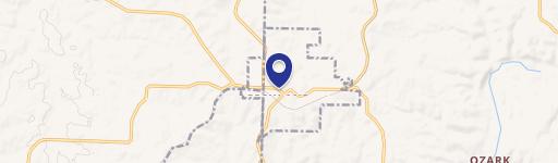
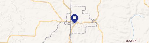
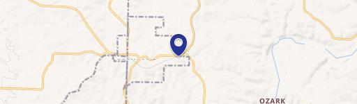
Location Insight
- Map
- Local Demand
- City
- Richland
- County
- Pulaski
- State
- Missouri
- Longitude
- -92.4047
- Latitude
- 37.7709
- CBSA code
- 22780
- CBSA name
- FORT LEONARD WOOD, MO MICROPOLITAN STATISTICAL AREA
Property Tax & Assessments
Tax date
Tax Amount
Assessed Land Value
Assessed Improvement Value
Total Assessed Value
Applied Tax Rate
Land Market Value
Improvement Market Value
Total Market Value
2019
$7,847
$29,164
$158,512
$187,676
-
$93,030
$495,350
$588,380