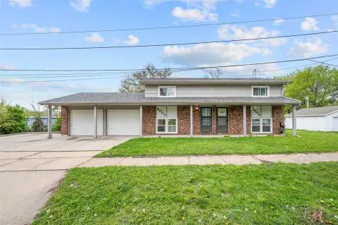
2617 Patricia Dr Urbandale, IA 50322-5253
Property profile & analytics
2617 Patricia Dr, Urbandale, IA 50322-5253
- Apartment buildings
- 7,120 SF
- 0.45 lot acres
Property ID
US25-0280374
The Realmo ID is a unique identifier assigned to every property, incorporating country codes and precise geo-coordinates for 300x300-foot land blocks. It enables standardized data collection and seamless integration of disparate sources such as ownership, tax, title data and physical specifications. By aggregating current and historical records, the Realmo ID powers advanced analytics and delivers deep, verifiable insights for real estate professionals.
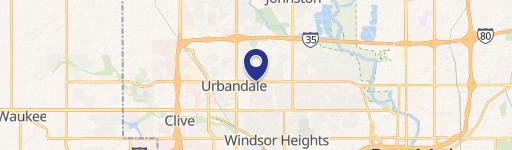
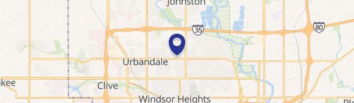
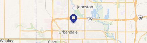
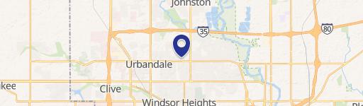
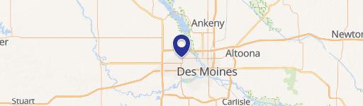
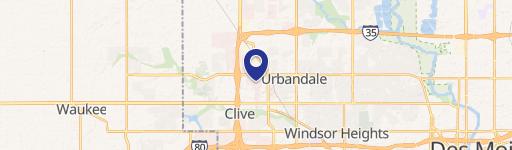
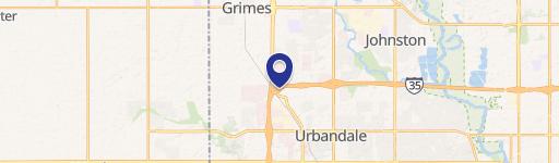
Location Intelligence
Current Use by Public Records
- Apartment buildings
Property Details for 2617 Patricia Dr
- Year built
- 1963
- Construction
- FRAME
- Lot size
- 0.45 lot acres
- Zone code
- R-2
- Property type
- Apartment buildings
- APN
- 312/00216-003-000
- APU
- 31200216003000
Sales History
| Date | Price | Buyer | Seller | Deed Type | Mortgage |
|---|---|---|---|---|---|
| Jul 5, 2018 | $850,000 | Urban Prop Lc | M & V 1955 Co Op INC | Warranty Deed | $760k · First Nat'l Bk |
| Mar 1, 2017 | $450,000 | Urban Property LLC | Fine Living LLC | Warranty Deed | — |
| — | — | Fine Living LLC | — | Deed Of Trust · related | $310k · First Bank |
Value Estimations
based on Realmo’s proprietary methodology
-
Comparable approach
- Method
- Estimation
- Statistic Estimate
- $671,000
Market price range: $547k - $1.79M
Get a detailed, property-specific estimation — fast and free
Location Insight
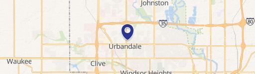
- Map
- Local Demand
- City
- Urbandale
- County
- Polk
- State
- Iowa
- Longitude
- -93.7418
- Latitude
- 41.6169
- CBSA code
- 19780
- CBSA name
- DES MOINES-WEST DES MOINES, IA METROPOLITAN STATISTICAL AREA
Property Tax & Assessments
Tax date
Tax Amount
Assessed Land Value
Assessed Improvement Value
Total Assessed Value
Applied Tax Rate
Land Market Value
Improvement Market Value
Total Market Value
2020
$11,304
$73,300
$604,700
$678,000
-
$73,300
$604,700
$678,000