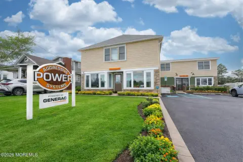
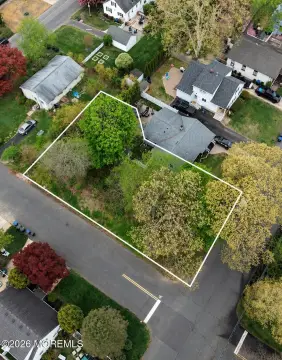
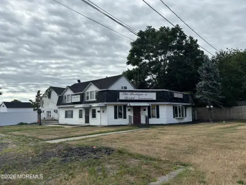
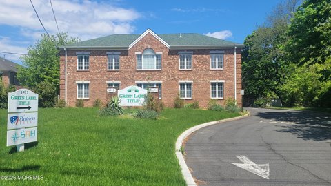
2601 State Rte 138 Wall Township, NJ 07719-9660
Property profile & analytics
2601 State Rte 138, Wall Township, NJ 07719-9660
- Banks
- 2,541 SF
- 1.33 lot acres
Property ID
US59-0715566
The Realmo ID is a unique identifier assigned to every property, incorporating country codes and precise geo-coordinates for 300x300-foot land blocks. It enables standardized data collection and seamless integration of disparate sources such as ownership, tax, title data and physical specifications. By aggregating current and historical records, the Realmo ID powers advanced analytics and delivers deep, verifiable insights for real estate professionals.
Location Intelligence
Current Use by Public Records
- Banks
Property Details for 2601 State Rte 138
- Year built
- 1975
- Lot size
- 1.33 lot acres
- Zone code
- OP-2
- Property type
- Banks
- APN
- 52 00745-0000-00016
- APU
- 5200745000000016
Sales History
| Date | Price | Buyer | Seller | Deed Type | Mortgage |
|---|---|---|---|---|---|
| Nov 7, 2022 | $2,150,000 | 2601 Wall Property LLC | Jpmorgan Chase Bank National Associ | Deed | — |
| Oct 13, 2006 | $900,000 | Jp Morgan Chase Bank NA | Bank Of New York | Grant Deed · related | — |
Value Estimations
based on Realmo’s proprietary methodology
-
AI approach
- Method
- Estimation
- Statistic approach
- $2,255,000
- ML approach
- $2,260,000
Get a detailed, property-specific estimation — fast and free
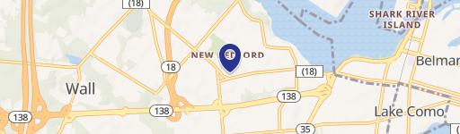
Location Insight
- Map
- Local Demand
- City
- Wall Township
- County
- Monmouth
- State
- New Jersey
- Longitude
- -74.0639
- Latitude
- 40.1708
- CBSA code
- 35620
- CBSA name
- NEW YORK-NORTHERN NEW JERSEY-LONG ISLAND, NY-NJ-PA METROPOLITAN STATISTICAL AREA
Property Tax & Assessments
Tax date
Tax Amount
Assessed Land Value
Assessed Improvement Value
Total Assessed Value
Applied Tax Rate
Land Market Value
Improvement Market Value
Total Market Value
2022
$18,564
$266,000
$650,300
$916,300
-
$266,000
$650,300
$916,300