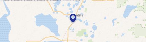
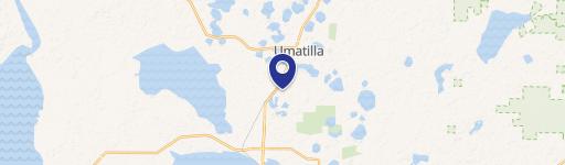
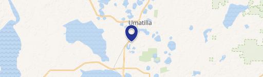
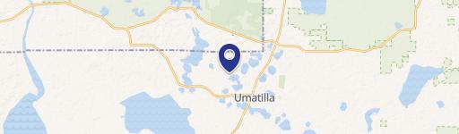
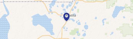
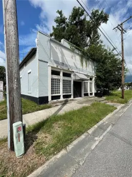
24851 Hwy 42 Umatilla, FL 32784-8779
Property profile & analytics
24851 Hwy 42, Umatilla, FL 32784-8779
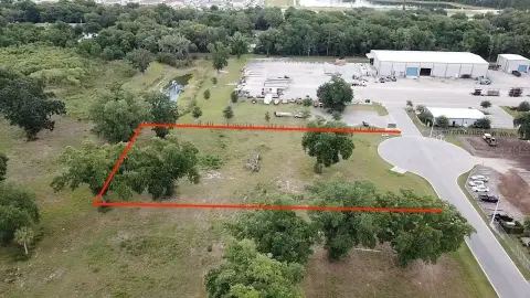
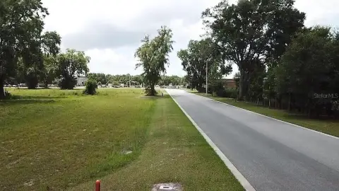
- Mining land & claims
- 8.49 lot acres
Property ID
US18-5020170
The Realmo ID is a unique identifier assigned to every property, incorporating country codes and precise geo-coordinates for 300x300-foot land blocks. It enables standardized data collection and seamless integration of disparate sources such as ownership, tax, title data and physical specifications. By aggregating current and historical records, the Realmo ID powers advanced analytics and delivers deep, verifiable insights for real estate professionals.
Location Intelligence
Current Use by Public Records
- Mining land & claims
Property Details for 24851 Hwy 42
- Year built
- 1974
- Lot size
- 8.49 lot acres
- Zone code
- A1
- Property type
- Mining land & claims
- APN
- 51147-000-00
- APU
- 5114700000
Sales History
| Date | Price | Buyer | Seller | Deed Type | Mortgage |
|---|---|---|---|---|---|
| Nov 1, 2006 | — | Bbc Investments Vi LLC | Owner Name Unavailable | Grant Deed · related | — |
| Sep 7, 2006 | $175,000 | Bbc Investments Vi LLC | Codding,donald & Kathryn F | Warranty Deed | $145k · Donald & Kathryn F Codding |
| Nov 14, 2003 | $40,000 | Donald Codding | Lamm,selby A | Grant Deed · related | — |
| Jun 25, 1996 | $20,000 | Judith J Shields | Citizens Nat'l Bank Leesburg | Grant Deed · related | — |
Value Estimations
based on Realmo’s proprietary methodology
-
AI approach
-
CAP approach
-
Comparable approach
-
Alternative Use
Get a detailed, property-specific estimation — fast and free
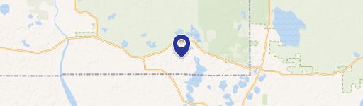
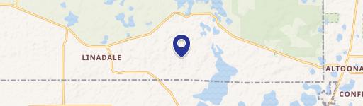
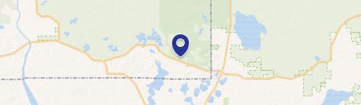
Location Insight
- Map
- Local Demand
- City
- Umatilla
- County
- Marion
- State
- Florida
- Longitude
- -81.7428
- Latitude
- 28.982
- CBSA code
- 36100
- CBSA name
- OCALA, FL METROPOLITAN STATISTICAL AREA
Property Tax & Assessments
Tax date
Tax Amount
Assessed Land Value
Assessed Improvement Value
Total Assessed Value
Applied Tax Rate
Land Market Value
Improvement Market Value
Total Market Value
2023
$875
$53,489
$0.00
$53,489
-
$53,489
$0.00
$53,489