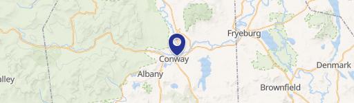
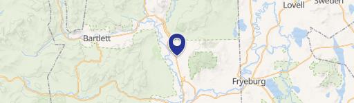
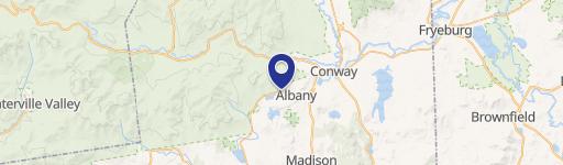
24 Emery Ln Conway, NH 03818-5800
Highway Commercial (HC) District. [Amended 4-14-2015 ATM by Arts. 2, 3 and 4 ; 4-14-2015 ATM by Art. 5 ; 4-12-2016 ATM by Art. 3 ; 4-12-2016 ATM by Art. 4 ; 4-12-2016 ATM by Art. 7 ; 4-11-2017 ATM by Art. 2 ; 4-10-2018 ATM by Art. 2 ; 4-10-2018 ATM by Art. 3 ; 4-9-2019 ATM by Art. 2 ; 4-9-2019 ATM by Art. 3 ; 5-12-2020 ATM by Art. 4 ; 5-12-2020 ATM by Art. 5…
Cap rate
Implied · in-place · derived from last sale + estimated NOIValue
AI, CAP & Alternative Use estimations · Realmo proprietary blendProperty tax & assessments
Tax year 2023Comparables
6 recent transactions · within 1.5 miComparable in this City


Similar Nearby for Sale


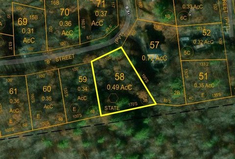

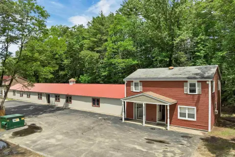
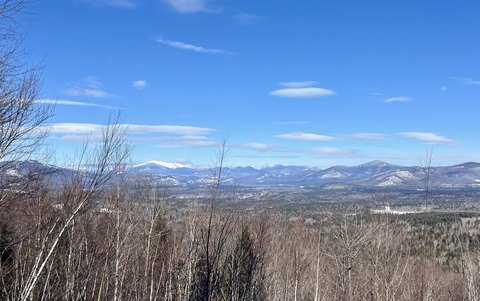
Similar Nearby for Lease


Property description
Physical attributes from public recordsZoning & alternative use
HC · Conway, NHHighway Commercial (HC) District. [Amended 4-14-2015 ATM by Arts. 2, 3 and 4 ; 4-14-2015 ATM by Art. 5 ; 4-12-2016 ATM by Art. 3 ; 4-12-2016 ATM by Art. 4 ; 4-12-2016 ATM by Art. 7 ; 4-11-2017 ATM by Art. 2 ; 4-10-2018 ATM by Art. 2 ; 4-10-2018 ATM by Art. 3 ; 4-9-2019 ATM by Art. 2 ; 4-9-2019 ATM by Art. 3 ; 5-12-2020 ATM by Art. 4 ; 5-12-2020 ATM by Art. 5 ; 4-13-2021 ATM by Art. 5 ; 4-12-2022 ATM by Art. 5 ; 4-11-2023 ATM by Art. 12 ; 4-9-2024 ATM by Art. 21 ; 4-9-2024 ATM by Art. 18 ; 4-8-2025 ATM by Art. 2 ; 4-8-2025 ATM by Art. 3 ; 4-8-2025 ATM by Art. 4 ; 4-8-2025 ATM by Art. 5,6 ; 4-8-2025 ATM by Art. 7 ; 4-8-2025 ATM by Art. 8 ] The HC District is primarily designed to accommodate a compatible mixture of uses that complement commercial and residential uses typically associated with transportation corridors, large traffic flows and convenient access. The areas of this district that are serviced by municipal water and sewer can accommodate development at higher densities. Uses permitted in this district are represented in the Permitted Use Table included as an attachment to this chapter . A. District boundaries. The HC District shall have the following bounds: (1) Conway Village Area South of the Saco River. (a) The HC District in the Conway Village area south of the Saco River shall have the following bounds (Map and Parcel numbers refer to 2003 Town of Conway Tax Maps): Commencing at the point of intersection of the center lines of Route 16 and Map 277, Parcel 322 (Conway Scenic Railroad); thence southwesterly along the center line of Map 277, Parcel 322 (Conway Scenic Railroad) to the Albany Town Line; thence northerly along the Albany Town Line to a point 400 feet northwesterly of the center line of Route 16; thence northeasterly parallel with and 400 feet from the center line of Route 16 to the eastern boundary of Map 277, Parcel 265; thence southeasterly along the eastern boundary of Map 277, Parcel 265 to the northern boundary of the Route 16 ROW; thence northeasterly along the northern boundary of the Route 16 ROW and continuing on the same bearing to the western boundary of Map 277, Parcel 271; thence northerly along the western boundary of Map 277, Parcel 271 and Map 264, Parcel 23 to the northwest corner of Map 264, Parcel 23; thence easterly along the northern boundary of Map 264, Parcel 23 and continuing on the same bearing to the center line of Towle Road; thence northerly along the center line of Towle Road to the center line of Route 112 (Kancamagus Highway);
Costs & Benchmarks
Operating expenses, capex projections, utility benchmarks, and submarket comparables — all in one view.
Risks
Flood, climate, environmental, title, and tenant-concentration risk — surfaced with mitigations and source citations.


