238 Elmwood Ave Buffalo, NY 14222
D-R, D-M, D-E, D-S, D-C, D-IL, D-IH, D-OS, D-OG, D-ON, C-R C-W-100 TABLE 5A: WATERFRONT YARDS DECEMBER 2016 CITY OF BUFFALO | CHAPTER 496, UNIFIED DEVELOPMENT ORDINANCE CORRIDOR ZONES | 5-9 where it finds that development in these areas will adversely affect the water quality of the water body. b. A shoreline buffer, consisting of undisturbed native or natur…
Cap rate
Implied · in-place · derived from last sale + estimated NOIValue
AI, CAP & Alternative Use estimations · Realmo proprietary blendProperty tax & assessments
Tax year 2023Comparables
6 recent transactions · within 1.5 miComparable in this City


Similar Nearby for Sale


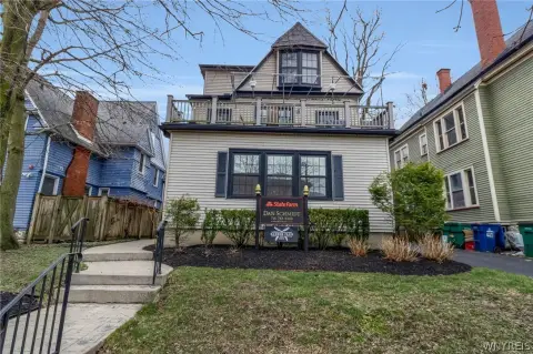
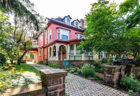
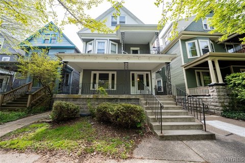
Similar Nearby for Lease


Property description
Physical attributes from public recordsZoning & alternative use
D-S · Buffalo, NYD-R, D-M, D-E, D-S, D-C, D-IL, D-IH, D-OS, D-OG, D-ON, C-R C-W-100 TABLE 5A: WATERFRONT YARDS DECEMBER 2016 CITY OF BUFFALO | CHAPTER 496, UNIFIED DEVELOPMENT ORDINANCE CORRIDOR ZONES | 5-9 where it finds that development in these areas will adversely affect the water quality of the water body. b. A shoreline buffer, consisting of undisturbed native or naturalized vegetation, must be provided for a minimum depth of 50 feet from the mean high water line. Grading, filling, excavation, clear cutting, and removal of vegetative cover are prohibited within this shoreline buffer, except in the following instances: i. To implement erosion and flood control measures. ii. To facilitate a water-dependent use. iii. To control noxious or invasive vegetation. iv. To implement green infrastructure
Costs & Benchmarks
Operating expenses, capex projections, utility benchmarks, and submarket comparables — all in one view.
Risks
Flood, climate, environmental, title, and tenant-concentration risk — surfaced with mitigations and source citations.


