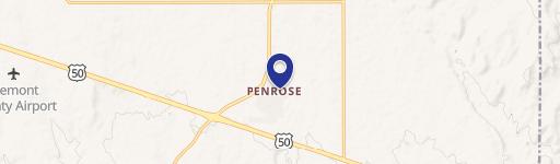
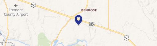
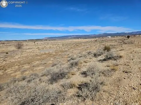
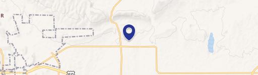
230 Shoop Dr Penrose, CO 81240-9502
Property profile & analytics
230 Shoop Dr, Penrose, CO 81240-9502
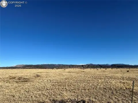
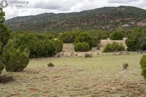
- Industrial land
- 10,068 SF
- 6.22 lot acres
Property ID
US13-0476201
The Realmo ID is a unique identifier assigned to every property, incorporating country codes and precise geo-coordinates for 300x300-foot land blocks. It enables standardized data collection and seamless integration of disparate sources such as ownership, tax, title data and physical specifications. By aggregating current and historical records, the Realmo ID powers advanced analytics and delivers deep, verifiable insights for real estate professionals.
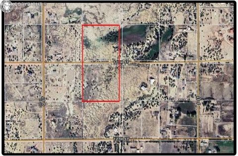
Location Intelligence
Current Use by Public Records
- Industrial land
Property Details for 230 Shoop Dr
- Year built
- 1995
- Lot size
- 6.22 lot acres
- Property type
- Industrial land
- APN
- 99504213
- APU
- 99504213
Sales History
| Date | Price | Buyer | Seller | Deed Type | Mortgage |
|---|---|---|---|---|---|
| Mar 14, 2023 | $241,000 | R&n Components LLC | Applegate Colorado LLC | Special Warranty Deed | — |
| Mar 17, 2009 | $144,918 | Applegate Colorado LLC | Wittenburg,roger A | Warranty Deed | — |
| Sep 26, 2005 | $332,000 | Roger A Wittenberg | Rocky Mountian Bank & Trust | Special Warranty Deed | $249k · Rocky Mountain Bank |
| May 27, 2005 | — | Owner Name Unavailable | Owner Name Unavailable | Quit Claim Deed · related | — |
| Apr 21, 2005 | — | Rocky Mountain Bank & Trust | Sherriff Deed Of Fremont County | Trustees Deed · related | — |
Value Estimations
based on Realmo’s proprietary methodology
-
AI approach
-
CAP approach
-
Comparable approach
-
Alternative Use
Get a detailed, property-specific estimation — fast and free
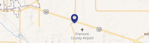
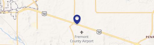
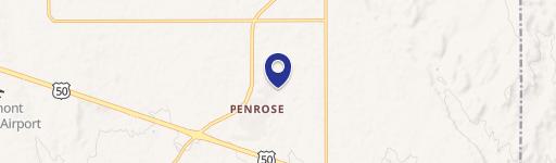
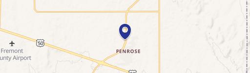
Location Insight
- Map
- Local Demand
- City
- Penrose
- County
- Fremont
- State
- Colorado
- Longitude
- -105.109
- Latitude
- 38.4334
- CBSA code
- 15860
- CBSA name
- CANON CITY, CO MICROPOLITAN STATISTICAL AREA
Property Tax & Assessments
Tax date
Tax Amount
Assessed Land Value
Assessed Improvement Value
Total Assessed Value
Applied Tax Rate
Land Market Value
Improvement Market Value
Total Market Value
2023
$2,603
$43,385
$0.00
$43,385
-
$155,500
$0.00
$155,500