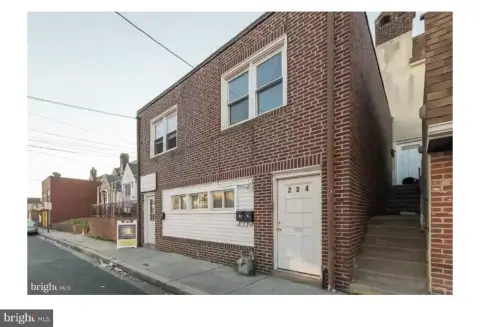
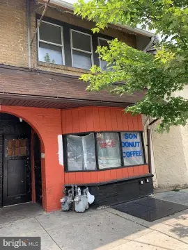
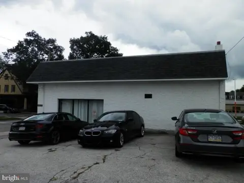
228 69th St Upper Darby, PA 19082
Property profile & analytics
228 69th St, Upper Darby, PA 19082
- Community centers
- 12,400 SF
- 0.76 lot acres
Property ID
US73-0127195
The Realmo ID is a unique identifier assigned to every property, incorporating country codes and precise geo-coordinates for 300x300-foot land blocks. It enables standardized data collection and seamless integration of disparate sources such as ownership, tax, title data and physical specifications. By aggregating current and historical records, the Realmo ID powers advanced analytics and delivers deep, verifiable insights for real estate professionals.
Location Intelligence
Current Use by Public Records
- Community centers
Property Details for 228 69th St
- Year built
- 1980
- Lot size
- 0.76 lot acres
- Property type
- Community centers
- Property subtype
- Shopping centers
- APN
- 16-03-02080-00
- APU
- 16030208000
Sales History
| Date | Price | Buyer | Seller | Deed Type | Mortgage |
|---|---|---|---|---|---|
| Mar 6, 2019 | — | Home Elite Ltd | — | Deed · related | — |
| Feb 26, 2004 | $1,330,000 | Home Elite Ltd | Pms Realty Associates | Grant Deed | $1M · Wachovia Bank NA |
| — | — | Home Elite Ltd | — | Deed Of Trust · related | — |
| — | — | Pms Realty Associates | — | Deed Of Trust · related | $100k · National Penn Bank |
Value Estimations
based on Realmo’s proprietary methodology
-
AI approach
-
CAP approach
-
Comparable approach
-
Alternative Use
Get a detailed, property-specific estimation — fast and free
Location Insight
- Map
- Local Demand
- City
- Upper Darby
- County
- Delaware
- State
- Pennsylvania
- Longitude
- -75.2585
- Latitude
- 39.9557
- CBSA code
- 37980
- CBSA name
- PHILADELPHIA-CAMDEN-WILMINGTON, PA-NJ-DE-MD METROPOLITAN STATISTICAL AREA
Property Tax & Assessments
Tax date
Tax Amount
Assessed Land Value
Assessed Improvement Value
Total Assessed Value
Applied Tax Rate
Land Market Value
Improvement Market Value
Total Market Value
2024
$46,522
$392,160
$707,880
$1,100,040
-
$0.00
$0.00
$1,100,040