223 Frnt St Keyport, NJ 07735-1041
Neighborhood Commercial District (NC) General Commercial District (GC) General Marine Commercial District (GMC) Highway Commercial District (HC) Limited Industrial District (LI) Industrial District (I) § 25-1-4.2 Zoning Maps. [1] [ Ord. No. 13-90 ; amended 12-18-2018 by Ord. No. 28-18 ] The zones listed in Subsection 25-1-4.1 are shown on a map entitled "Zon…
Cap rate
Implied · in-place · derived from last sale + estimated NOIValue
AI, CAP & Alternative Use estimations · Realmo proprietary blendProperty tax & assessments
Tax year 2022Comparables
6 recent transactions · within 1.5 miComparable in this City


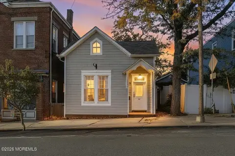
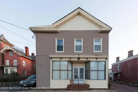
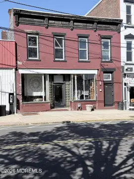
Similar Nearby for Sale



Similar Nearby for Lease
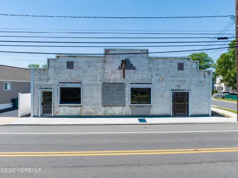


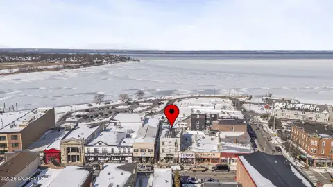

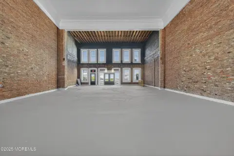
Property description
Physical attributes from public recordsZoning & alternative use
NC · Keyport, NJNeighborhood Commercial District (NC) General Commercial District (GC) General Marine Commercial District (GMC) Highway Commercial District (HC) Limited Industrial District (LI) Industrial District (I) § 25-1-4.2 Zoning Maps. [1] [ Ord. No. 13-90 ; amended 12-18-2018 by Ord. No. 28-18 ] The zones listed in Subsection 25-1-4.1 are shown on a map entitled "Zoning Map, Borough of Keyport, Monmouth County, New Jersey, February 22, 2018." a. Amendments. If, in accordance with the provisions of this chapter and the Revised Statutes of the State of New Jersey, changes in the district boundaries or other matters portrayed in the map are made by the Council, such changes shall be made promptly by the Engineer after the amendment has taken effect as provided by law. For each change in the map, note shall be made thereon, in the revision box, of the date of revision, zones affected by the revision and a brief identifying description of the revision. These changes are to be endorsed upon the map on the effective date of the amendment. b. Rules for interpretation of district boundaries. Whenever an uncertainty or ambiguity exists as to the true location of any boundary line of any district (zone) shown on the map, the following rules shall apply: 1. Center lines. Boundary lines indicated as following or approximately following streets, highways, other public or private ways or center line of waterways, shall be construed to follow the center lines thereof as determined by the Engineer. 2. Platted lines. A boundary indicated as following or approximately following platted lot lines shall be construed as following such lot lines as the same appear on the Tax Map of the Borough as revised. 3. Municipal lines. Boundaries indicated as following or approximately following municipal lines shall be construed as following such municipal lines. [1]
Costs & Benchmarks
Operating expenses, capex projections, utility benchmarks, and submarket comparables — all in one view.
Risks
Flood, climate, environmental, title, and tenant-concentration risk — surfaced with mitigations and source citations.


