Property profile & analytics
2211 General Bruce Dr Temple, TX 76504
- Industrial properties
- 43,500 SF
- 3.31 lot acres
OFF-MARKET
Value Estimations
$4,260,000
Show details
Cap Rate Potential
Location Intelligence
Property ID
US82-7220971
The Realmo ID is a unique identifier assigned to every property, incorporating country codes and precise geo-coordinates for 300x300-foot land blocks. It enables standardized data collection and seamless integration of disparate sources such as ownership, tax, title data and physical specifications. By aggregating current and historical records, the Realmo ID powers advanced analytics and delivers deep, verifiable insights for real estate professionals.
Current Use by Public Records
- JCB Packaging / Industrial Manufacturer / Factory
Property Details for 2211 General Bruce Dr
- Year built
- 1979
- Lot size
- 3.31 lot acres
- Property size
- 43,500 SF
- Zone code
- COMB
- Property type
- Industrial properties
- APN
- 123551
- APU
- 123551
Description
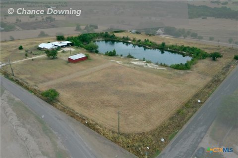
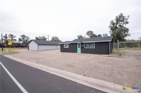
This 42,000-square-foot industrial warehouse is situated on a 3.31-acre lot at 2211 N General Bruce Dr, Temple, TX 76501. Built in 1979, the single-tenant property features a concrete tilt-wall and steel frame construction with steel decks and a tar and gravel roof. The warehouse boasts a 20-foot ceiling height, enhancing storage and operational efficiency. Nine loading docks and three drive-ins provide ample access for loading and unloading. The property is zoned HI and LI, and its APN is 123551. Conveniently located on the North Interstate 35 frontage road and Baker Blvd, this property benefits from excellent visibility and accessibility. Its proximity to Temple's Industrial District and the Santa Fe rail yard offers strategic advantages for distribution and logistics. The building includes separate men's and women's restrooms in the office area, and an additional warehouse restroom with three urinals and one toilet. This versatile space is suitable for various industrial uses, including warehouse, distribution, R&D, manufacturing, and flex operations.
Value Estimations
based on Realmo’s proprietary methodology
-
CAP approach
- CAP Return
- Estimation
- 6%
- $4,580,000
- 6.5%
- $4,225,000
- 7%
- $3,925,000
-
Comparable approach
- Method
- Estimation
- AI Estimate
- $4,290,000
Market price range: $619k - $10.2M -
Alternative Use
- Use
- Estimation
- INDUSTRIAL (GENERAL)
- $5,180,000 Current use
- COMMERCIAL (GENERAL)
- $4,480,000 Change: -14% Conversion: Difficult
Get a detailed, property-specific valuation — fast and free
Location Insight
- Map
- Local Demand
- City
- Temple
- County
- Bell
- State
- Texas
- Longitude
- -97.3494
- Latitude
- 31.1219
- CBSA code
- 28660
- CBSA name
- KILLEEN-TEMPLE-FORT HOOD, TX METROPOLITAN STATISTICAL AREA
Property Tax & Assessments
Tax date
Tax Amount
Assessed Land Value
Assessed Improvement Value
Total Assessed Value
Applied Tax Rate
Land Market Value
Improvement Market Value
Total Market Value
2023
$18,031
$345,176
$473,304
$818,480
-
$345,176
$473,304
$818,480