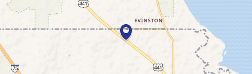
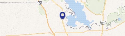
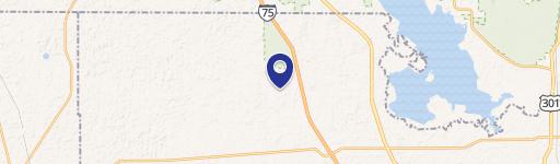
22030 Hwy 441st N Micanopy, FL 32667-7522
Property profile & analytics
22030 Hwy 441st N, Micanopy, FL 32667-7522
- Commercial real estate
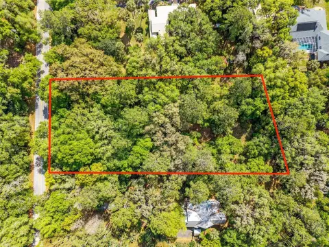
- 1,286 SF
- 3.42 lot acres
Property ID
US18-4348840
The Realmo ID is a unique identifier assigned to every property, incorporating country codes and precise geo-coordinates for 300x300-foot land blocks. It enables standardized data collection and seamless integration of disparate sources such as ownership, tax, title data and physical specifications. By aggregating current and historical records, the Realmo ID powers advanced analytics and delivers deep, verifiable insights for real estate professionals.
Location Intelligence
Current Use by Public Records
- Commercial real estate
Property Details for 22030 Hwy 441st N
- Year built
- 1925
- Construction
- WOOD FRAME
- Lot size
- 3.42 lot acres
- Zone code
- B4
- Property type
- Commercial real estate
- APN
- 02118-001-00
- APU
- 211800100
Sales History
| Date | Price | Buyer | Seller | Deed Type | Mortgage |
|---|---|---|---|---|---|
| Oct 31, 2022 | $1,150,000 | Mmrd Real Estate Holdings LLC | Mazzella Properties LLC | Warranty Deed | — |
| Jul 8, 2016 | $300,000 | Antonio Mazella | C A Correia USA INC | Warranty Deed | $200k · Wayne & Marlena Talamas |
| Aug 1, 2005 | $307,500 | C A Correia USA INC | Owner Name Unavailable | Grant Deed · related | — |
| Jun 7, 2002 | $10,000 | Delarbre Trust | Brisky Trust | Grant Deed · related | — |
| Dec 10, 1999 | $190,000 | Brisky Trust | Harvest Village INC | Grant Deed · related | $115k · Seller |
Value Estimations
based on Realmo’s proprietary methodology
-
AI approach
- Method
- Estimation
- Statistic approach
- $1,025,000
- ML approach
- $1,025,000
Get a detailed, property-specific estimation — fast and free
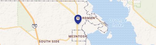
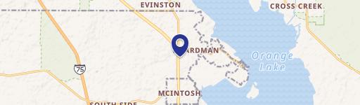
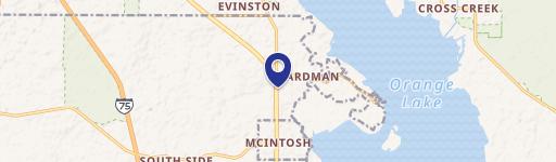
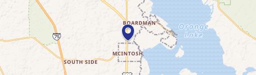
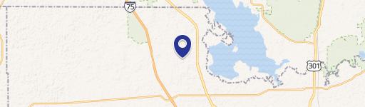
Location Insight
- Map
- Local Demand
- City
- Micanopy
- County
- Marion
- State
- Florida
- Longitude
- -82.226
- Latitude
- 29.4703
- CBSA code
- 36100
- CBSA name
- OCALA, FL METROPOLITAN STATISTICAL AREA
Property Tax & Assessments
Tax date
Tax Amount
Assessed Land Value
Assessed Improvement Value
Total Assessed Value
Applied Tax Rate
Land Market Value
Improvement Market Value
Total Market Value
2023
$7,747
$148,975
$272,386
$421,361
-
$148,975
$272,386
$421,361