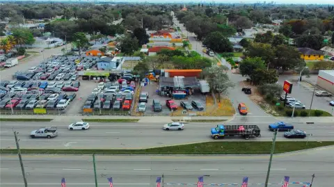
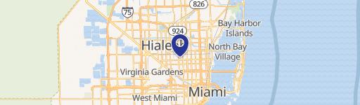
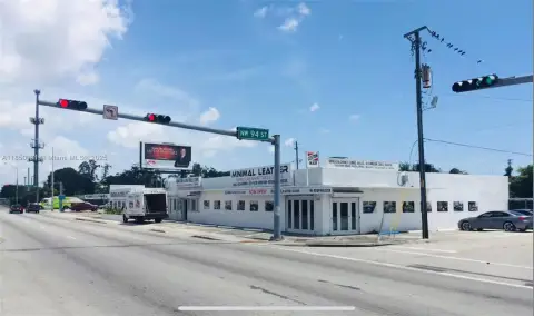
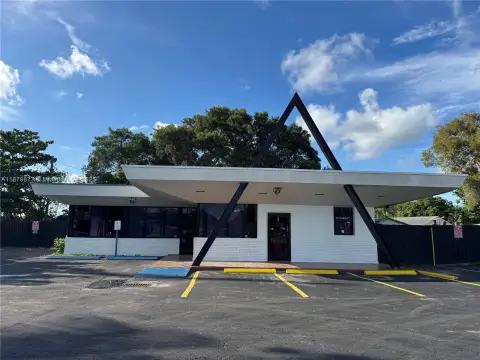
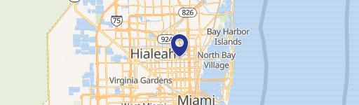
2200 79Th St Miami, FL 33147
- Gas stations
- 2,491 SF
- 0.73 lot acres
Current Use by Public Records
- Gas stations
Property Details for 2200 79Th St
- Year built
- 1982
- Construction
- CONCRETE
- Lot size
- 0.73 lot acres
- Property size
- 2,491 SF
- Zone code
- 6462
- Property type
- Gas stations
- APN
- 30-3110-057-1960
- APU
- 3031100571960
Description
This exceptional industrial and commercial land parcel, located at 2200 NW 79th St, Miami, FL 33147 (APN 30-3110-057-1960), is available for lease. Situated at the cross streets of 22nd and NW 79th Street in Miami-Dade County, this single-tenancy lot offers unparalleled exposure and versatility. Currently, the property presents a blank canvas ideal for a wide range of uses. Potential applications include, but are not limited to, pickleball courts, a food truck venue, or other special-purpose uses. The property's strategic location also makes it suitable for temporary truck parking, a staging area, Christmas tree sales, or even fireworks sales. The lease price is $15,000 per month. This property presents a unique opportunity for businesses seeking a high-visibility location in a thriving Miami market. The property type is land, categorized as both industrial and commercial. Interested parties should inquire for further details and lease terms. The latitude and longitude coordinates are 25.8459055, -80.2339762 respectively.
Value Estimations
-
AI approach
-
CAP approach
-
Comparable approach
-
Alternative Use
Get a detailed, property-specific valuation — fast and free
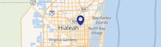
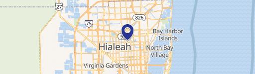
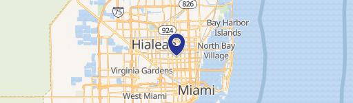
Location Insight
- Map
- Local Demand
- City
- Miami
- County
- Miami-dade
- State
- Florida
- Longitude
- -80.234
- Latitude
- 25.8459
- CBSA code
- 33100
- CBSA name
- MIAMI-FORT LAUDERDALE-MIAMI BEACH, FL METROPOLITAN STATISTICAL AREA