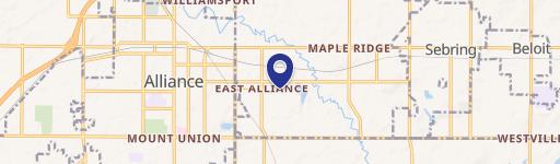
2155 State St Alliance, OH 44601-3505
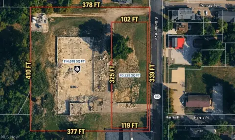
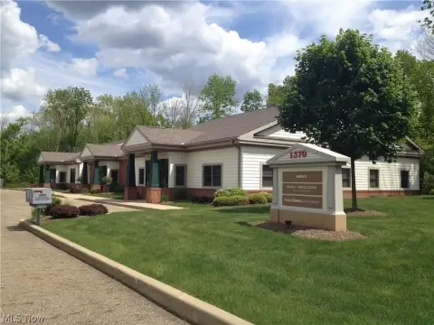
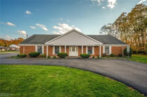
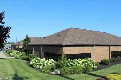
This exceptional Class A property, located at 2155 W State St in Alliance, OH 44601, presents a unique opportunity for retail development. The 1.8-acre lot boasts 90 feet of frontage on a signalized corner, offering high visibility and accessibility. The existing 4,800 square foot building, renovated in 2022, is available and adaptable to various retail uses. Featuring a three-bay garage with oversized doors (two 10ft wide x 12ft high, one 10ft wide x 10ft high), the building offers versatile space. The property includes ample parking for 100-135 vehicles. Its strategic location in the Canton/Akron submarket, within walking distance of a new Meijer development and across from Aldi, ensures high traffic volume (over 20,000 vehicles per day). The B-2 zoning allows for a wide range of retail uses. This shovel-ready site is ideal for businesses seeking high visibility and convenient access in a thriving retail corridor. The property is served by electric power.
Cap rate
Implied · in-place · derived from last sale + estimated NOIValue
AI, CAP & Alternative Use estimations · Realmo proprietary blendProperty tax & assessments
Tax year 2023Comparables
6 recent transactions · within 1.5 miComparable in this City


Similar Nearby for Sale


Similar Nearby for Lease


Property description
Physical attributes from public recordsZoning & alternative use
Costs & Benchmarks
Operating expenses, capex projections, utility benchmarks, and submarket comparables — all in one view.
Risks
Flood, climate, environmental, title, and tenant-concentration risk — surfaced with mitigations and source citations.


