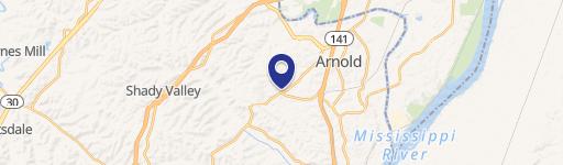
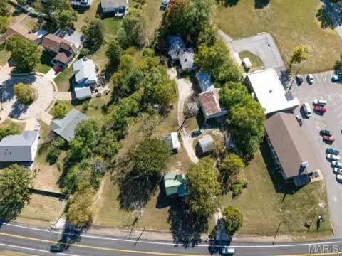
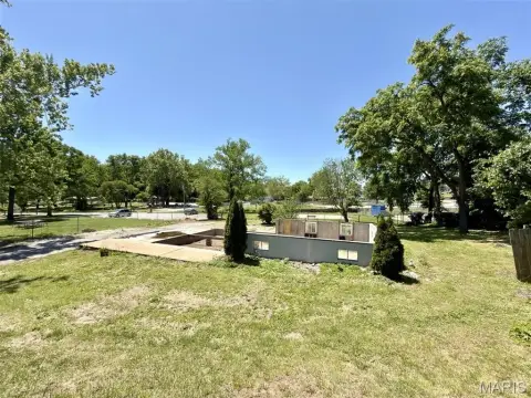
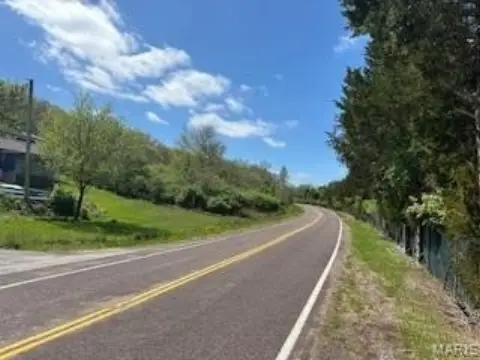
2121 10th Rd Arnold, MO 63010-1514
Property profile & analytics
2121 10th Rd, Arnold, MO 63010-1514
- Commercial real estate
- 2,418 SF
- 0.56 lot acres
Property ID
US48-0807804
The Realmo ID is a unique identifier assigned to every property, incorporating country codes and precise geo-coordinates for 300x300-foot land blocks. It enables standardized data collection and seamless integration of disparate sources such as ownership, tax, title data and physical specifications. By aggregating current and historical records, the Realmo ID powers advanced analytics and delivers deep, verifiable insights for real estate professionals.
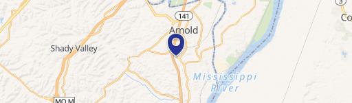
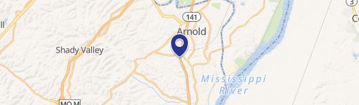
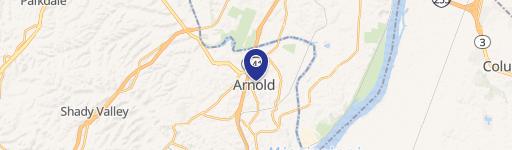
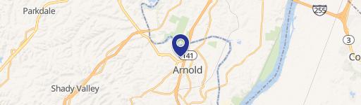
Location Intelligence
Current Use by Public Records
- Commercial real estate
Property Details for 2121 10th Rd
- Year built
- 1970
- Lot size
- 0.56 lot acres
- Zone code
- CT1
- Property type
- Commercial real estate
- APN
- 01-4.0-20.0-4-002-002.
- APU
- 1402004002002
Sales History
| Date | Price | Buyer | Seller | Deed Type | Mortgage |
|---|---|---|---|---|---|
| Sep 8, 2023 | — | Michael Freukes | Un Ko Properties LLC | Warranty Deed | $50k · Un Ko Properties LLC |
| May 25, 2017 | — | Unko Properties LLC | Michael Mccoy | Quit Claim Deed · related | $280k · Private Individual |
| May 26, 2015 | — | Kimberly Jackson | Bland Steve | Affidavit Of Death · related | — |
Value Estimations
based on Realmo’s proprietary methodology
-
AI approach
-
CAP approach
-
Comparable approach
-
Alternative Use
Get a detailed, property-specific estimation — fast and free
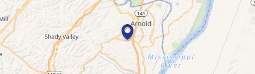
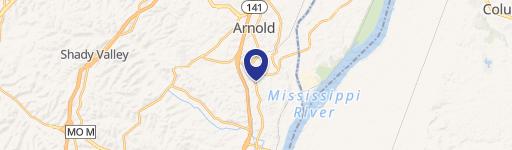
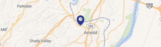
Location Insight
- Map
- Local Demand
- City
- Arnold
- County
- Jefferson
- State
- Missouri
- Longitude
- -90.369
- Latitude
- 38.4477
- CBSA code
- 41180
- CBSA name
- ST. LOUIS, MO-IL METROPOLITAN STATISTICAL AREA
Property Tax & Assessments
Tax date
Tax Amount
Assessed Land Value
Assessed Improvement Value
Total Assessed Value
Applied Tax Rate
Land Market Value
Improvement Market Value
Total Market Value
2023
$4,036
$27,300
$28,800
$56,100
-
$85,400
$89,900
$175,300