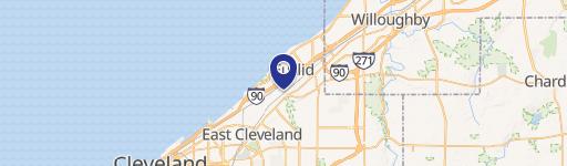
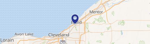
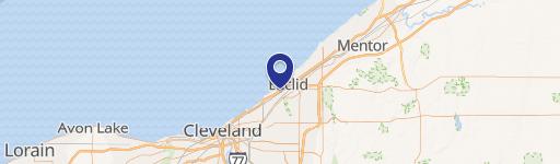
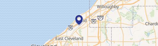
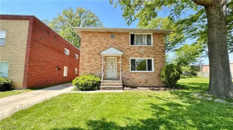
20850 Saint Clair Ave Euclid, OH 44117-1019
1359.05 SUPPLEMENTAL REGULATIONS FOR ALL USES. 1359.06 REGULATIONS FOR SPECIFIC USES. 1359.07 HEIGHT REQUIREMENTS. 1359.08 LOT AREA AND SETBACK REQUIREMENTS. CHAPTER 1360 U5 Commercial Districts (Repealed) CHAPTER 1361 U6 Industrial and Manufacturing Districts (Repealed) CHAPTER 1362 U7 Light Industrial Park Districts CHAPTER 1363 U8 Office Building District…
Cap rate
Implied · in-place · derived from last sale + estimated NOIValue
AI, CAP & Alternative Use estimations · Realmo proprietary blendProperty tax & assessments
Tax year 2023Comparables
6 recent transactions · within 1.5 miComparable in this City


Similar Nearby for Sale


Similar Nearby for Lease


Property description
Physical attributes from public recordsZoning & alternative use
U6 · Euclid, OH1359.05 SUPPLEMENTAL REGULATIONS FOR ALL USES. 1359.06 REGULATIONS FOR SPECIFIC USES. 1359.07 HEIGHT REQUIREMENTS. 1359.08 LOT AREA AND SETBACK REQUIREMENTS. CHAPTER 1360 U5 Commercial Districts (Repealed) CHAPTER 1361 U6 Industrial and Manufacturing Districts (Repealed) CHAPTER 1362 U7 Light Industrial Park Districts CHAPTER 1363 U8 Office Building Districts CHAPTER 1364 C-I Campus Institutional District CHAPTER 1365 Overlay Districts C
Costs & Benchmarks
Operating expenses, capex projections, utility benchmarks, and submarket comparables — all in one view.
Risks
Flood, climate, environmental, title, and tenant-concentration risk — surfaced with mitigations and source citations.


