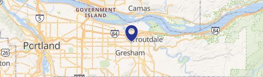
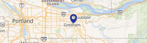
2077 Burnside Rd Gresham, OR 97030-7956
Property profile & analytics
2077 Burnside Rd, Gresham, OR 97030-7956
- Retail space
- 70,280 SF
- 2.74 lot acres
Property ID
US71-0666870
The Realmo ID is a unique identifier assigned to every property, incorporating country codes and precise geo-coordinates for 300x300-foot land blocks. It enables standardized data collection and seamless integration of disparate sources such as ownership, tax, title data and physical specifications. By aggregating current and historical records, the Realmo ID powers advanced analytics and delivers deep, verifiable insights for real estate professionals.
Location Intelligence
Current Use by Public Records
- Retail space
Property Details for 2077 Burnside Rd
- Year built
- 1979
- Lot size
- 2.74 lot acres
- Zone code
- GC
- Property type
- Retail space
- APN
- 1S3E11BC 00100
- APU
- 1S3E11BC00100
Sales History
| Date | Price | Buyer | Seller | Deed Type | Mortgage |
|---|---|---|---|---|---|
| Sep 13, 2024 | — | Hrof II Otc LLC | Oregon Trail Center Venture LLC | Special Warranty Deed | $28.6M · Prime Finance Short Duration Holdin |
| Oct 6, 2009 | — | Krc Oregon Trail LLC | Pan Pacific Portland LLC | Quit Claim Deed · related | — |
Value Estimations
based on Realmo’s proprietary methodology
-
Comparable approach
- Method
- Estimation
- Statistic Estimate
- $8,921,000
- AI Estimate
- $8,921,000
Market price range: $8.92M - $14.4MMarket price range: $8.92M - $14.4M -
Alternative Use
- Use
- Estimation
- RETAIL STORES
- $10,705,000 Current use
Get a detailed, property-specific estimation — fast and free
Location Insight
- Map
- Local Demand
- City
- Gresham
- County
- Multnomah
- State
- Oregon
- Longitude
- -122.41
- Latitude
- 45.5006
- CBSA code
- 38900
- CBSA name
- PORTLAND-VANCOUVER-BEAVERTON, OR-WA METROPOLITAN STATISTICAL AREA
Property Tax & Assessments
Tax date
Tax Amount
Assessed Land Value
Assessed Improvement Value
Total Assessed Value
Applied Tax Rate
Land Market Value
Improvement Market Value
Total Market Value
2023
$114,912
$0.00
$0.00
$6,103,370
-
$2,504,360
$6,808,720
$9,313,080