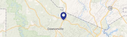
2059 Burnt Stand Rd Dawsonville, GA 30534-8117
Property profile & analytics
2059 Burnt Stand Rd Dawsonville, GA 30534-8117
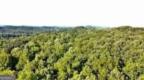
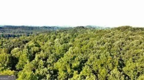
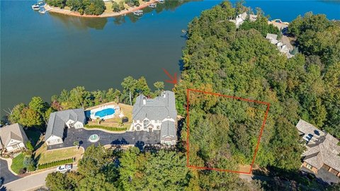
- Commercial real estate
- 8,774 SF
- 25.92 lot acres
Property ID
US22-2172511
The Realmo ID is a unique identifier assigned to every property, incorporating country codes and precise geo-coordinates for 300x300-foot land blocks. It enables standardized data collection and seamless integration of disparate sources such as ownership, tax, title data and physical specifications. By aggregating current and historical records, the Realmo ID powers advanced analytics and delivers deep, verifiable insights for real estate professionals.
Location Intelligence
Current Use by Public Records
- Dawsonville Waste and Recycling (DWAR) / Waste Management Facility / Hazardous Waste Disposal
- 400 North Landfill, LLC / Waste Management Facility / Hazardous Waste Disposal
Property Details for 2059 Burnt Stand Rd
- Year built
- 2007
- Construction
- STEEL FRAME
- Lot size
- 25.92 lot acres
- Property size
- 8,774 SF
- Zone code
- I
- Property type
- Commercial real estate
- APN
- 065 183
- APU
- 65183
Value Estimations
based on Realmo’s proprietary methodology
-
AI approach
- Method
- Estimation
- ML approach
- $385,000
-
Comparable approach
- Method
- Estimation
- AI Estimate
- $440,000
Market price range: $404k - $1.58M
Get a detailed, property-specific estimation — fast and free
Location Insight
- Map
- Local Demand
- City
- Dawsonville
- County
- Lumpkin
- State
- Georgia
- Longitude
- -83.9892
- Latitude
- 34.4535
Property Tax & Assessments
Tax date
Tax Amount
Assessed Land Value
Assessed Improvement Value
Total Assessed Value
Applied Tax Rate
Land Market Value
Improvement Market Value
Total Market Value
2024
$5,205
$113,404
$107,899
$221,303
-
$283,509
$269,748
$553,257